|
search place name
|
||
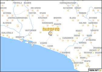
Nkrofro (Western, Ghana)Nkrofro is a town in the Western region of Ghana. An overview map of the region around Nkrofro is displayed below.
regional and 3d topo map of Nkrofro, Ghana ::
Nkrofro airports ::
The nearest airport is TKD - Takoradi, located 61.2 km east of Nkrofro.
Other airports nearby include ABJ - Abidjan Felix Houphouet Boigny Intl (180.9 km west), Nearby towns ::
Teko Bokaso (0.9km north) //
Anwianwia (1.3km north) //
Dukubaka (2.4km east) //
Atababo (3.4km east) //
Ahuraga (4.0km north) //
Kumwensia (4.1km west) //
Nvenesoro (4.2km north) //
Ngugro (4.3km north east) //
Bomakpole (4.4km north west) //
Esiama (4.5km south west) //
Mamponso (4.6km east) //
Kikam (4.6km south) //
Asamko (5.1km south) //
Popremam (5.8km south east) //
Bromami (6.3km north east) //
Kwadobaka (6.3km east) //
Kwandoswaso (6.6km north west) //
Ninzimrim (6.6km north west) //
Bou (6.6km north west) //
Asanta (6.9km south east) //
Asangrun (7.4km west) //
Bentiniboa (7.5km west) //
Asrunun (7.6km south west) //
Jokokrom (7.8km north) //
Nkokraba (8.0km west) //
Chuansi (8.1km east) //
Nfuma (8.3km north) //
Mpein (8.8km west) //
Atiakrom (8.9km east) //
[all distances 'as the bird flies' and approximate] 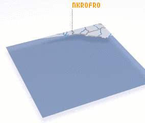 Places with similar names to Nkrofro, Ghana ::
// New Garver (US)
// Ngarfari (TD)
Disclaimer :: Information on this page comes without warranty of any kind |
||
|
Where is Nkrofro? Elevation and coordinates ::
Latitude (lat): 4°57'51"N Longitude (lon): 2°19'19"W
Elevation (approx.): 15m (map arrows pan, magnifying glasses zoom) |
||
|
Visiting Nkrofro? Hotel/Accommodation ::
Book a hotel in Nkrofro Travel Guide ::
Buy a travel guide for Ghana rental cars ::
car rental offers GPS waypoint ::
download a GPX waypoint (PoI) of Nkrofro for your GPS receiver
|
||