|
search place name
|
||
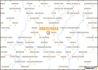
Obenimase (Ghana)Obenimase is a town in Ghana. An overview map of the region around Obenimase is displayed below.
regional and 3d topo map of Obenimase, Ghana ::
Obenimase airports ::
The nearest airport is NYI - Sunyani, located 149.7 km north west of Obenimase.
Other airports nearby include ACC - Accra Kotoka Intl (161.3 km south east), TKD - Takoradi (207.1 km south), Nearby towns ::
Obima (1.8km east) //
Chichibiasi (2.6km north east) //
Nyabo (2.6km south west) //
Patriensa (2.6km south west) //
Juasohenekrom (2.6km south east) //
Asempaneye (3.7km west) //
Kwakawkaw (4.1km north east) //
Owiriso (4.1km south west) //
Tamiema (5.2km north west) //
Pentimpa (5.2km south east) //
Pechereche (5.6km north) //
Kurakan (5.5km west) //
Bomhu (5.8km west) //
Krofa (5.8km east) //
Yaohiamankrom (5.9km south) //
Juansa (6.7km north east) //
Domiabra (6.7km north east) //
Nyamiyadom (7.4km south) //
Atem (7.6km north) //
Chichiwere (7.6km west) //
Mawso (7.6km east) //
Nkrumaso (7.8km north west) //
Konongo (7.8km south west) //
Wawaduhi (8.3km north west) //
Adiembra (8.3km north west) //
Ajareago (8.2km south west) //
Juaso (8.3km south east) //
Kojobukokrom (9.2km north west) //
Odumasi (9.2km south west) //
[all distances 'as the bird flies' and approximate] 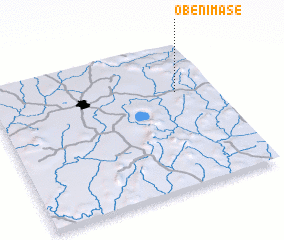 Places with similar names to Obenimase, Ghana :: Disclaimer :: Information on this page comes without warranty of any kind |
||
|
Where is Obenimase? Elevation and coordinates ::
Latitude (lat): 6°40'0"N Longitude (lon): 1°10'0"W
Elevation (approx.): 280m (map arrows pan, magnifying glasses zoom) |
||
|
Visiting Obenimase? Hotel/Accommodation ::
Book a hotel in Obenimase Travel Guide ::
Buy a travel guide for Ghana rental cars ::
car rental offers GPS waypoint ::
download a GPX waypoint (PoI) of Obenimase for your GPS receiver
|
||