|
search place name
|
||
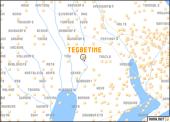
Tegbetime (Ghana)Tegbetime is a town in Ghana. An overview map of the region around Tegbetime is displayed below.
regional and 3d topo map of Tegbetime, Ghana ::
Tegbetime airports ::
The nearest airport is LFW - Lome Gnassingbe Eyadema Intl, located 30.1 km east of Tegbetime.
Other airports nearby include ACC - Accra Kotoka Intl (142.5 km south west), COO - Cotonou Cadjehoun (156.2 km east), Nearby towns ::
Togbeve (1.9km south) //
Anfetu (2.6km south east) //
Dalikofe (2.6km north west) //
Pelikofe (2.6km north west) //
Agovi (2.6km north west) //
Gbegbekope (2.8km south east) //
Kuli (3.6km north east) //
Tovi (3.7km west) //
Huve (3.7km east) //
Dekpo (4.1km south west) //
Aginakofe (4.1km north west) //
Kave (4.1km north west) //
Demakope (4.3km north east) //
Gatsikope (4.3km south east) //
Tadzle (4.6km east) //
Ehie (4.7km south east) //
Jobafi (5.2km north west) //
Agbadomi (5.6km south) //
Anyigbademe (5.5km east) //
Gyagoto (5.6km south) //
Dzodze (5.8km north) //
Bame (5.9km north) //
Akbakofe (6.7km north west) //
Volu (6.7km north west) //
Fenyi Hata (6.7km north east) //
Alovi (6.9km north east) //
Fenyi Yokoe (7.1km north east) //
Kuve (7.4km north) //
Tokpa (7.4km north) //
[all distances 'as the bird flies' and approximate] 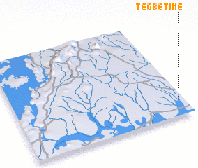 Places with similar names to Tegbetime, Ghana :: Disclaimer :: Information on this page comes without warranty of any kind |
||
|
Where is Tegbetime? Elevation and coordinates ::
Latitude (lat): 6°11'0"N Longitude (lon): 0°59'0"W
Elevation (approx.): 17m (map arrows pan, magnifying glasses zoom) |
||
|
Visiting Tegbetime? Hotel/Accommodation ::
Book a hotel in Tegbetime Travel Guide ::
Buy a travel guide for Ghana rental cars ::
car rental offers GPS waypoint ::
download a GPX waypoint (PoI) of Tegbetime for your GPS receiver
|
||