|
search place name
|
||
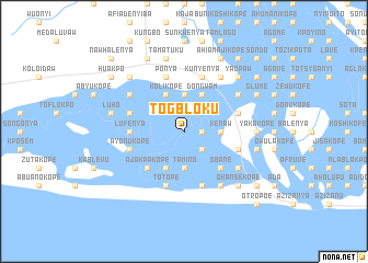
Togbloku (Ghana)Togbloku is a town in Ghana. An overview map of the region around Togbloku is displayed below.
regional and 3d topo map of Togbloku, Ghana ::
Togbloku airports ::
The nearest airport is ACC - Accra Kotoka Intl, located 83.3 km west of Togbloku.
Other airports nearby include LFW - Lome Gnassingbe Eyadema Intl (86.2 km north east), COO - Cotonou Cadjehoun (211.2 km east), Nearby towns ::
Wasakuse Wayo (1.8km east) //
Kotobebe (2.6km south east) //
Tamino (3.7km south) //
Kenaw (3.7km east) //
Dogo (3.7km north) //
Aminapa (4.1km south west) //
Dongwam (4.1km north east) //
Kolikope (4.1km north west) //
Kumikope (5.2km south east) //
Ajakpakope (5.2km south west) //
Obane (5.2km south east) //
Lufenya (5.5km west) //
Mawujingwa (5.8km east) //
Ayonukope (5.8km west) //
Elavanyo (5.9km south) //
Pute (5.9km south) //
Totope (5.9km south) //
Atawtawkope (5.8km east) //
Kopehem (5.8km west) //
Lufenya (5.8km west) //
Bwetakope (5.9km north) //
Kunyenya (5.9km north) //
Ponya (5.9km north) //
Halagbe (6.7km south east) //
Anyapo (6.7km south east) //
Tomivawkope (6.7km north east) //
Dedekope (6.7km north east) //
Banavekope (6.7km north west) //
Yakakope (7.4km east) //
[all distances 'as the bird flies' and approximate] 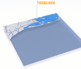 Places with similar names to Togbloku, Ghana ::
Disclaimer :: Information on this page comes without warranty of any kind |
||
|
Where is Togbloku? Elevation and coordinates ::
Latitude (lat): 5°50'0"N Longitude (lon): 0°33'0"W
(map arrows pan, magnifying glasses zoom) |
||
|
Visiting Togbloku? Hotel/Accommodation ::
Book a hotel in Togbloku Travel Guide ::
Buy a travel guide for Ghana rental cars ::
car rental offers GPS waypoint ::
download a GPX waypoint (PoI) of Togbloku for your GPS receiver
|
||