|
search place name
|
||
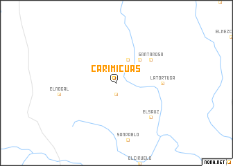
Carimicuas (Jalisco, Mexico)Carimicuas is a town in the Jalisco region of Mexico. An overview map of the region around Carimicuas is displayed below.
regional and 3d topo map of Carimicuas, Mexico ::
Carimicuas airports ::
The nearest airport is CLQ - Colima, located 73.4 km south west of Carimicuas.
Other airports nearby include ZMM - Zamora (89.2 km north east), UPN - Uruapan Licenciado Y Gen Ignacio Lopez Rayon (95.1 km east), GDL - Guadalajara Don Miguel Hidalgo Y Costilla Intl (116.3 km north), ZLO - Manzanillo Playa De Oro Intl (176.1 km west), Nearby towns ::
Reparito (1.9km south) //
Manuel M. Diéguez (4.1km north east) //
Las Minas (5.1km north east) //
Santa Rosa (6.4km north east) //
La Tortuga (7.0km east) //
El Sauz (7.6km south east) //
[all distances 'as the bird flies' and approximate] 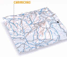 Places with similar names to Carimicuas, Mexico ::
// Karmacs (HU)
// Cormacks (NZ)
// Caramicuas (MX)
// Caramicuas (MX)
// Guérim Bakésso (NE)
// Carmaux (FR)
// Crémeaux (FR)
// Carmacks (CA)
// Kermaux (FR)
Disclaimer :: Information on this page comes without warranty of any kind |
||
|
Where is Carimicuas? Elevation and coordinates ::
Latitude (lat): 19°32'0"N Longitude (lon): 102°56'0"W
Elevation (approx.): 1034m (map arrows pan, magnifying glasses zoom) |
||
|
Visiting Carimicuas? Hotel/Accommodation ::
Book a hotel in Carimicuas Travel Guide ::
Buy a travel guide for Mexico rental cars ::
car rental offers GPS waypoint ::
download a GPX waypoint (PoI) of Carimicuas for your GPS receiver
|
||