|
search place name
|
||
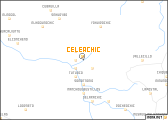
Celeachic (Chihuahua, Mexico)Celeachic is a town in the Chihuahua region of Mexico. An overview map of the region around Celeachic is displayed below.
regional and 3d topo map of Celeachic, Mexico ::
Celeachic airports ::
The nearest airport is CEN - Ciudad Obregon Intl, located 204.6 km south west of Celeachic.
Nearby towns ::
Medinas (1.6km west) //
El Ranchito (2.5km north west) //
Los Molinitos (2.5km south east) //
Boliachic (2.5km south west) //
Tutuaca (4.0km south west) //
San Antonio (5.6km south) //
Rancho de Bustillos (7.4km south) //
Yahuirachic (8.1km north east) //
[all distances 'as the bird flies' and approximate] 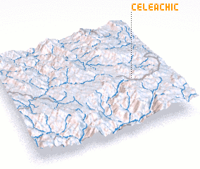 Places with similar names to Celeachic, Mexico ::
// Zalesiaki (PL)
// Solchaga (ES)
// Sauli Chak (IN)
// Sulyshok (KZ)
// Sālah Shekh (PK)
// Solch'aek (KR)
// Ceel Shiikh (SO)
// Sällshög (SE)
// Solishki (BY)
// Cill Choca (IE)
Disclaimer :: Information on this page comes without warranty of any kind |
||
|
Where is Celeachic? Elevation and coordinates ::
Latitude (lat): 28°31'0"N Longitude (lon): 108°11'0"W
Elevation (approx.): 1925m (map arrows pan, magnifying glasses zoom) |
||
|
Visiting Celeachic? Hotel/Accommodation ::
Book a hotel in Celeachic Travel Guide ::
Buy a travel guide for Mexico rental cars ::
car rental offers GPS waypoint ::
download a GPX waypoint (PoI) of Celeachic for your GPS receiver
|
||