|
search place name
|
||
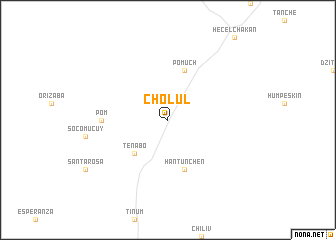
Cholul (Campeche, Mexico)Cholul is a town in the Campeche region of Mexico. An overview map of the region around Cholul is displayed below.
regional and 3d topo map of Cholul, Mexico ::
Cholul airports ::
The nearest airport is CPE - Campeche Ingeniero Alberto Acuna Ongay Intl, located 43.1 km south west of Cholul.
Other airports nearby include MID - Merida Licenciado Manuel Crescencio Rejon Int (110.1 km north east), CME - Ciudad Del Carmen Intl (230.8 km south west), CTM - Chetumal Intl (263.2 km south east), Nearby towns ::
Tenabó (5.1km south west) //
Hantunchén (5.8km south) //
Pomuch (5.8km north) //
Pom (7.0km west) //
[all distances 'as the bird flies' and approximate] 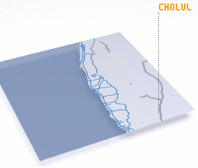 Places with similar names to Cholul, Mexico ::
// Shiloh Hill (US)
// Šiauleliai (LT)
// Chiliile (RO)
// Chiliile (RO)
// Chulilla (ES)
// Chalālī (IR)
// Chālelū (IR)
// Chāl Ghelāgh (IR)
// Chūlalū (IR)
// Chilili (US)
Disclaimer :: Information on this page comes without warranty of any kind |
||
|
Where is Cholul? Elevation and coordinates ::
Latitude (lat): 20°5'0"N Longitude (lon): 90°12'0"W
Elevation (approx.): 11m (map arrows pan, magnifying glasses zoom) |
||
|
Visiting Cholul? Hotel/Accommodation ::
Book a hotel in Cholul Travel Guide ::
Buy a travel guide for Mexico rental cars ::
car rental offers GPS waypoint ::
download a GPX waypoint (PoI) of Cholul for your GPS receiver
|
||