|
search place name
|
||
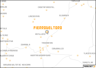
Fierro del Toro (Morelos, Mexico)Fierro del Toro is a town in the Morelos region of Mexico. An overview map of the region around Fierro del Toro is displayed below.
regional and 3d topo map of Fierro del Toro, Mexico ::
Fierro del Toro airports ::
The nearest airport is CVJ - Cuernavaca General Mariano Matamoros, located 28.8 km south of Fierro del Toro.
Other airports nearby include MEX - Mexico City Licenciado Benito Juarez Intl (41.9 km north east), TLC - Toluca Licenciado Adolfo Lopez Mateos Intl (43.5 km north west), PBC - Puebla Hermanos Serdan Intl (91.8 km east), PCA - Pachuca Ingeniero Juan Guillermo Villasana (119.0 km north east), Nearby towns ::
El Capulín (1.6km south east) //
Astillero (2.9km south west) //
Tres Marías (4.6km south) //
Tonautzontla (5.9km south) //
María del Socorro (6.1km south west) //
Teresita (6.4km south) //
Las Cabañas (6.9km south west) //
El Capulín (7.4km north west) //
Huitzilac (7.7km south) //
Coajomulco (7.8km south east) //
Las Cocinas (7.8km north west) //
El Guarda (8.7km north east) //
Zempoala (9.7km south west) //
[all distances 'as the bird flies' and approximate] 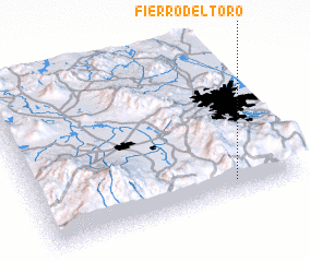 Places with similar names to Fierro del Toro, Mexico :: Disclaimer :: Information on this page comes without warranty of any kind |
||
|
Where is Fierro del Toro? Elevation and coordinates ::
Latitude (lat): 19°5'38"N Longitude (lon): 99°14'29"W
Elevation (approx.): 2960m (map arrows pan, magnifying glasses zoom) |
||
|
Visiting Fierro del Toro? Hotel/Accommodation ::
Book a hotel in Fierro del Toro Travel Guide ::
Buy a travel guide for Mexico rental cars ::
car rental offers GPS waypoint ::
download a GPX waypoint (PoI) of Fierro del Toro for your GPS receiver
|
||