|
search place name
|
||
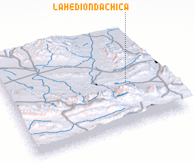
La Hedionda Chica (Coahuila de Zaragoza, Mexico)La Hedionda Chica is a town in the Coahuila de Zaragoza region of Mexico. An overview map of the region around La Hedionda Chica is displayed below.
regional and 3d topo map of La Hedionda Chica, Mexico ::

La Hedionda Chica airports ::
The nearest airport is SLW - Saltillo Plan De Guadalupe Intl, located 32.6 km east of La Hedionda Chica.
Other airports nearby include NTR - Monterrey Del Norte Intl (110.1 km north east), MTY - Monterrey General Mariano Escobedo Intl (118.9 km east), LOV - Monclova Intl (168.5 km north), NLD - Nuevo Laredo Quetzalcoatl Intl (276.2 km north east), Nearby towns ::
 Places with similar names to La Hedionda Chica, Mexico :: Disclaimer :: Information on this page comes without warranty of any kind |
||
|
Where is La Hedionda Chica? Elevation and coordinates ::
Latitude (lat): 25°27'0"N Longitude (lon): 101°14'0"W
Elevation (approx.): 1613m (map arrows pan, magnifying glasses zoom) |
||
|
Visiting La Hedionda Chica? Hotel/Accommodation ::
Book a hotel in La Hedionda Chica Travel Guide ::
Buy a travel guide for Mexico rental cars ::
car rental offers GPS waypoint ::
download a GPX waypoint (PoI) of La Hedionda Chica for your GPS receiver
|
||