|
search place name
|
||
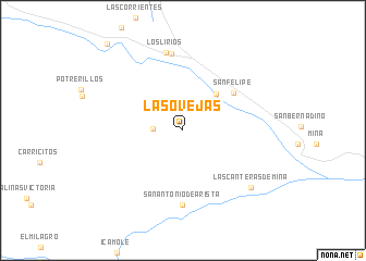
Las Ovejas (Nuevo León, Mexico)Las Ovejas is a town in the Nuevo León region of Mexico. An overview map of the region around Las Ovejas is displayed below.
regional and 3d topo map of Las Ovejas, Mexico ::
Las Ovejas airports ::
The nearest airport is NTR - Monterrey Del Norte Intl, located 45.7 km south east of Las Ovejas.
Other airports nearby include SLW - Saltillo Plan De Guadalupe Intl (59.8 km south west), MTY - Monterrey General Mariano Escobedo Intl (61.6 km south east), LOV - Monclova Intl (130.9 km north west), NLD - Nuevo Laredo Quetzalcoatl Intl (190.4 km north east), Nearby towns ::
La Madriguera (2.8km west) //
Boca de Potrerillos (3.2km north east) //
California (4.8km north east) //
San Felipe (6.1km north east) //
San Antonio de Arista (7.7km south) //
Las Adjuntas (7.9km north) //
Los Lirios (8.1km north) //
Las Canteras de Mina (8.5km south east) //
La Carroza (11.3km north west) //
[all distances 'as the bird flies' and approximate] 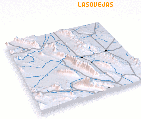 Places with similar names to Las Ovejas, Mexico ::
// Los Viejos (ES)
// Los Vijaos (CO)
// Las Ovejas (GT)
// Las Ovejas (MX)
// Las Ovejas (MX)
// Las Ovejas (MX)
// Las Viejas (MX)
// Las Viejas (PE)
// Las Viejas (VE)
// Las Ovejas (DO)
Disclaimer :: Information on this page comes without warranty of any kind |
||
|
Where is Las Ovejas? Elevation and coordinates ::
Latitude (lat): 26°1'45"N Longitude (lon): 100°39'22"W
Elevation (approx.): 718m (map arrows pan, magnifying glasses zoom) |
||
|
Visiting Las Ovejas? Hotel/Accommodation ::
Book a hotel in Las Ovejas Travel Guide ::
Buy a travel guide for Mexico rental cars ::
car rental offers GPS waypoint ::
download a GPX waypoint (PoI) of Las Ovejas for your GPS receiver
|
||