|
search place name
|
||
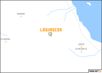
Los Vascos (Baja California, Mexico)Los Vascos is a town in the Baja California region of Mexico. An overview map of the region around Los Vascos is displayed below.
regional and 3d topo map of Los Vascos, Mexico ::
Los Vascos airports ::
The nearest airport is PPE - Punta Penasco Puerto Penasco, located 187.0 km north east of Los Vascos.
Other airports nearby include ESE - Ensenada (273.2 km north west), Nearby towns ::
[all distances 'as the bird flies' and approximate] 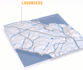 Places with similar names to Los Vascos, Mexico ::
// Los Vásquez (PA)
// Los Vásquez (PA)
// Las Vesgas (ES)
// Los Vásquez (SV)
// Los Vásquez (MX)
// Los Vásquez (MX)
// Los Vazquez (MX)
// Los Vázquez (MX)
// Lucio Vasquez (MX)
// Los Vásquez (UY)
Disclaimer :: Information on this page comes without warranty of any kind |
||
|
Where is Los Vascos? Elevation and coordinates ::
Latitude (lat): 29°59'0"N Longitude (lon): 114°40'0"W
Elevation (approx.): 500m (map arrows pan, magnifying glasses zoom) |
||
|
Visiting Los Vascos? Hotel/Accommodation ::
Book a hotel in Los Vascos Travel Guide ::
Buy a travel guide for Mexico rental cars ::
car rental offers GPS waypoint ::
download a GPX waypoint (PoI) of Los Vascos for your GPS receiver
|
||