|
search place name
|
||
Misical (Tabasco, Mexico)Misical is a town in the Tabasco region of Mexico. An overview map of the region around Misical is displayed below.
regional and 3d topo map of Misical, Mexico ::

Misical airports ::
The nearest airport is CME - Ciudad Del Carmen Intl, located 109.0 km north of Misical.
Other airports nearby include VSA - Villahermosa C P A Carlos Rovirosa Intl (149.6 km west), TGZ - Tuxtla Gutierrez Angel Albino Corzo (213.4 km south west), Nearby towns ::
Santa Cruz (1.9km north) //
Masicab (3.3km north west) //
Tierra Blanca (3.8km north) //
Netzahualcóyotl (4.1km south west) //
Sumina (5.1km north west) //
Las Campanas (5.6km south) //
El Pajaral (5.7km west) //
Canutillo (6.2km north east) //
Multé (6.6km south east) //
San Juan (6.6km south west) //
El Lomonal (7.3km west) //
San Antonio (7.3km west) //
Buena Vista (7.5km north east) //
El Coco (7.7km north west) //
San Felipe (8.0km south east) //
Colorada (9.4km north west) //
San Gregorio (10.3km north east) //
Santa Teresa (11.8km north east) //
[all distances 'as the bird flies' and approximate] 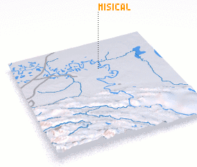 Places with similar names to Misical, Mexico ::
Disclaimer :: Information on this page comes without warranty of any kind |
||
|
Where is Misical? Elevation and coordinates ::
Latitude (lat): 17°44'0"N Longitude (lon): 91°26'0"W
Elevation (approx.): 14m (map arrows pan, magnifying glasses zoom) |
||
|
Visiting Misical? Hotel/Accommodation ::
Book a hotel in Misical Travel Guide ::
Buy a travel guide for Mexico rental cars ::
car rental offers GPS waypoint ::
download a GPX waypoint (PoI) of Misical for your GPS receiver
|
||