|
search place name
|
||
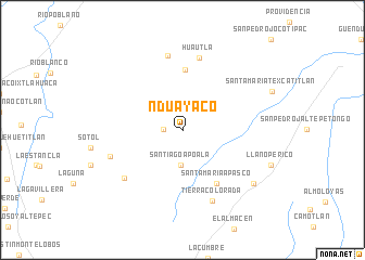
Nduayaco (Oaxaca, Mexico)Nduayaco is a town in the Oaxaca region of Mexico. An overview map of the region around Nduayaco is displayed below.
regional and 3d topo map of Nduayaco, Mexico ::
Nduayaco airports ::
The nearest airport is OAX - Oaxaca Xoxocotlan Intl, located 87.9 km south east of Nduayaco.
Other airports nearby include TCN - Tehuacan (94.6 km north), VER - Vera Cruz General Heriberto Jara Intl (191.1 km north east), PXM - Puerto Escondido Intl (200.0 km south), PBC - Puebla Hermanos Serdan Intl (208.2 km north west), Nearby towns ::
Río Jiménez (1.9km west) //
Santiago Apoala (3.7km south) //
San Miguel Huautla (6.2km north) //
Santa María Apasco (6.5km south east) //
Huautla (7.6km north) //
El Tejocote (7.7km north) //
San Miguel Chicahua (7.6km south west) //
Tierra Colorada (7.6km west) //
Tierra Colorada (7.9km south) //
Colorado (8.9km south east) //
[all distances 'as the bird flies' and approximate] 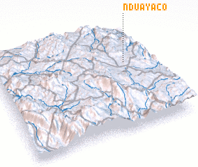
Disclaimer :: Information on this page comes without warranty of any kind |
||
|
Where is Nduayaco? Elevation and coordinates ::
Latitude (lat): 17°40'59"N Longitude (lon): 97°8'55"W
Elevation (approx.): 2354m (map arrows pan, magnifying glasses zoom) |
||
|
Visiting Nduayaco? Hotel/Accommodation ::
Book a hotel in Nduayaco Travel Guide ::
Buy a travel guide for Mexico rental cars ::
car rental offers GPS waypoint ::
download a GPX waypoint (PoI) of Nduayaco for your GPS receiver
|
||