|
search place name
|
||
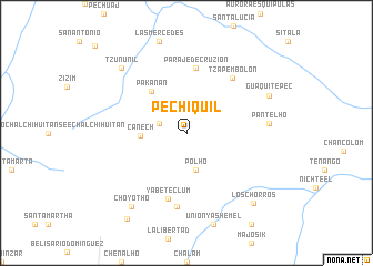
Pechiquil (Chiapas, Mexico)Pechiquil is a town in the Chiapas region of Mexico. An overview map of the region around Pechiquil is displayed below.
regional and 3d topo map of Pechiquil, Mexico ::
Pechiquil airports ::
The nearest airport is TGZ - Tuxtla Gutierrez Angel Albino Corzo, located 70.8 km south west of Pechiquil.
Other airports nearby include VSA - Villahermosa C P A Carlos Rovirosa Intl (114.2 km north), CME - Ciudad Del Carmen Intl (199.2 km north east), Nearby towns ::
Balunaco (2.8km west) //
Pol Ho (3.8km south) //
Canech (4.4km west) //
Pakanán (5.4km north west) //
Paraje de Cruzión (6.5km north) //
Yabeteclum (6.9km south) //
Tzapembolón (7.1km north east) //
Santa Catarina Pantelhó (7.5km south) //
Pantelhó (8.0km east) //
Guaquitepec (8.8km north east) //
Tzununil (9.0km north west) //
Choyothó (9.1km south west) //
Los Chorros (9.6km south east) //
Chintic (10.4km south west) //
[all distances 'as the bird flies' and approximate] 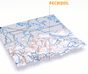 Places with similar names to Pechiquil, Mexico ::
// Pashkul (BG)
// Pāchh Kalia (BD)
// Pichicolo (CL)
// Pichiquil (GT)
// Pichukoli (IN)
// Pachuguilla (MX)
// Pachuquilla (MX)
// Pachuquilla (MX)
// Pachuquilla (MX)
// Pāshā Kolā (IR)
Disclaimer :: Information on this page comes without warranty of any kind |
||
|
Where is Pechiquil? Elevation and coordinates ::
Latitude (lat): 17°0'0"N Longitude (lon): 92°32'30"W
Elevation (approx.): 1109m (map arrows pan, magnifying glasses zoom) |
||
|
Visiting Pechiquil? Hotel/Accommodation ::
Book a hotel in Pechiquil Travel Guide ::
Buy a travel guide for Mexico rental cars ::
car rental offers GPS waypoint ::
download a GPX waypoint (PoI) of Pechiquil for your GPS receiver
|
||