|
search place name
|
||
Salazares (Zacatecas, Mexico)Salazares is a town in the Zacatecas region of Mexico. An overview map of the region around Salazares is displayed below.
regional and 3d topo map of Salazares, Mexico ::

Salazares airports ::
The nearest airport is AGU - Aguascalientes Jesus Teran Intl, located 103.1 km east of Salazares.
Other airports nearby include ZCL - Zacatecas General Leobardo C Ruiz Intl (130.4 km north east), GDL - Guadalajara Don Miguel Hidalgo Y Costilla Intl (148.9 km south), TPQ - Tepic (167.2 km west), BJX - Del Bajio Guanajuato Intl (211.9 km south east), Nearby towns ::
La Cantina (1.9km south) //
Teocaltiche (2.5km north west) //
La Era (2.5km south east) //
La Cruz Verde (3.7km south) //
Contreras (5.1km north east) //
La Palma (5.6km south) //
Los Guapos (5.5km east) //
Cantería (6.4km north east) //
La Purísima (6.4km north west) //
Las Playas (6.4km north east) //
Ramos (6.5km south east) //
San José (6.5km north west) //
Momax (7.6km north) //
Ranchitos (7.1km west) //
Los Álamos (8.2km south east) //
El Zapote (7.8km north west) //
Talpa (7.8km south west) //
Laurel (8.8km south west) //
La Ventura (10.1km north east) //
Sedanos (10.1km south east) //
[all distances 'as the bird flies' and approximate] 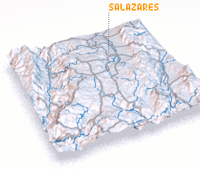 Places with similar names to Salazares, Mexico ::
// Ślusarze (PL)
Disclaimer :: Information on this page comes without warranty of any kind |
||
|
Where is Salazares? Elevation and coordinates ::
Latitude (lat): 21°52'0"N Longitude (lon): 103°18'0"W
Elevation (approx.): 1672m (map arrows pan, magnifying glasses zoom) |
||
|
Visiting Salazares? Hotel/Accommodation ::
Book a hotel in Salazares Travel Guide ::
Buy a travel guide for Mexico rental cars ::
car rental offers GPS waypoint ::
download a GPX waypoint (PoI) of Salazares for your GPS receiver
|
||