|
search place name
|
||
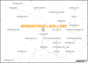
San Agustín de Clavellinas (San Luis Potosí, Mexico)San Agustín de Clavellinas is a town in the San Luis Potosí region of Mexico. An overview map of the region around San Agustín de Clavellinas is displayed below.
regional and 3d topo map of San Agustín de Clavellinas, Mexico ::
San Agustín de Clavellinas airports ::
The nearest airport is SLP - San Luis Potosi Ponciano Arriaga Intl, located 37.0 km east of San Agustín de Clavellinas.
Other airports nearby include AGU - Aguascalientes Jesus Teran Intl (126.4 km south west), BJX - Del Bajio Guanajuato Intl (147.9 km south), ZCL - Zacatecas General Leobardo C Ruiz Intl (158.0 km north west), QRO - Queretaro Intercontinental (219.9 km south east), Nearby towns ::
Ojo Zarco (1.9km south) //
Salitrera (4.1km south east) //
Salitrillo (5.1km east) //
Cenicera (6.3km south east) //
Temascalillo (6.3km south west) //
Obregón (7.4km south) //
Arbolito (7.6km south east) //
La Parada (7.8km north east) //
Cerro Prieto (8.2km south west) //
Estancia El Arenal (9.0km north east) //
La Tapona (9.0km south east) //
[all distances 'as the bird flies' and approximate] 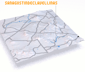 Places with similar names to San Agustín de Clavellinas, Mexico :: Disclaimer :: Information on this page comes without warranty of any kind |
||
|
Where is San Agustín de Clavellinas? Elevation and coordinates ::
Latitude (lat): 22°19'0"N Longitude (lon): 101°17'0"W
Elevation (approx.): 1930m (map arrows pan, magnifying glasses zoom) |
||
|
Visiting San Agustín de Clavellinas? Hotel/Accommodation ::
Book a hotel in San Agustín de Clavellinas Travel Guide ::
Buy a travel guide for Mexico rental cars ::
car rental offers GPS waypoint ::
download a GPX waypoint (PoI) of San Agustín de Clavellinas for your GPS receiver
|
||