|
search place name
|
||
San Antonio del Río (Chihuahua, Mexico)San Antonio del Río is a town in the Chihuahua region of Mexico. An overview map of the region around San Antonio del Río is displayed below.
regional and 3d topo map of San Antonio del Río, Mexico ::

San Antonio del Río airports ::
The nearest airport is CEN - Ciudad Obregon Intl, located 162.8 km south west of San Antonio del Río.
Nearby towns ::
Saucillo (3.3km east) //
La Junta (4.1km south west) //
Las Gallinas (5.2km west) //
Agua Caliente (5.8km south) //
Los Remedios (6.1km north west) //
Boca del Arroyo (7.4km north west) //
[all distances 'as the bird flies' and approximate] 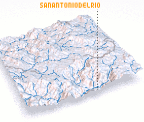 Places with similar names to San Antonio del Río, Mexico ::
// San Antonio del Río (CO)
// San Antonio del Río (MX)
// San Antonio del Río (MX)
// San Antonio del Río (MX)
// San Antonio del Río (MX)
Disclaimer :: Information on this page comes without warranty of any kind |
||
|
Where is San Antonio del Río? Elevation and coordinates ::
Latitude (lat): 28°4'0"N Longitude (lon): 108°22'0"W
Elevation (approx.): 1482m (map arrows pan, magnifying glasses zoom) |
||
|
Visiting San Antonio del Río? Hotel/Accommodation ::
Book a hotel in San Antonio del Río Travel Guide ::
Buy a travel guide for Mexico rental cars ::
car rental offers GPS waypoint ::
download a GPX waypoint (PoI) of San Antonio del Río for your GPS receiver
|
||