|
search place name
|
||
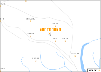
Santa Rosa (Quintana Roo, Mexico)Santa Rosa is a town in the Quintana Roo region of Mexico. An overview map of the region around Santa Rosa is displayed below.
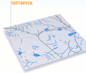
regional and 3d topo map of Santa Rosa, Mexico ::
Santa Rosa airports ::
The nearest airport is MID - Merida Licenciado Manuel Crescencio Rejon Int, located 134.4 km north west of Santa Rosa.
Other airports nearby include CPE - Campeche Ingeniero Alberto Acuna Ongay Intl (170.1 km west), CTM - Chetumal Intl (172.1 km south), CZM - Cozumel Intl (213.6 km east), Nearby towns ::
 Places with similar names to Santa Rosa, Mexico ::
// Sania Torres (MA)
// Santa Rosa (BR)
// Santa Rosa (BR)
// Santa Rosa (BR)
// Santa Rosa (BR)
// Santa Rosa (BR)
// Santa Rosa (BR)
// Santa Rosa (BR)
// Santa Rosa (BR)
// Santa Rosa (BR)
Disclaimer :: Information on this page comes without warranty of any kind |
||
|
Where is Santa Rosa? Elevation and coordinates ::
Latitude (lat): 19°58'0"N Longitude (lon): 88°53'0"W
Elevation (approx.): 46m (map arrows pan, magnifying glasses zoom) |
||
|
Visiting Santa Rosa? Hotel/Accommodation ::
Book a hotel in Santa Rosa Travel Guide ::
Buy a travel guide for Mexico rental cars ::
car rental offers GPS waypoint ::
download a GPX waypoint (PoI) of Santa Rosa for your GPS receiver
|
||