|
search place name
|
||
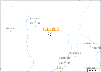
Telcruz (Jalisco, Mexico)Telcruz is a town in the Jalisco region of Mexico. An overview map of the region around Telcruz is displayed below.
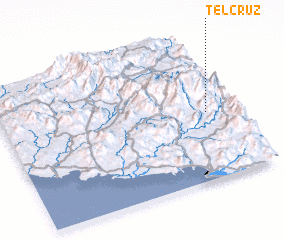
regional and 3d topo map of Telcruz, Mexico ::
Telcruz airports ::
The nearest airport is ZLO - Manzanillo Playa De Oro Intl, located 58.5 km south west of Telcruz.
Other airports nearby include CLQ - Colima (60.4 km east), GDL - Guadalajara Don Miguel Hidalgo Y Costilla Intl (144.0 km north east), PVR - Puerto Vallarta Licenciado Gustavo Diaz Ordaz Intl (179.4 km north west), ZMM - Zamora (203.3 km east), Nearby towns ::
 Places with similar names to Telcruz, Mexico ::
// Dealu Crucii (RO)
// Teal Acres (US)
// Dayle Acres (US)
// Tuŏl Kruŏs (KH)
// Tall Qarrāşah (SY)
// Dale Acres (US)
// Dalcross (GB)
// Tollcross (GB)
// Tully Cross (IE)
// Tala Cruz (AR)
Disclaimer :: Information on this page comes without warranty of any kind |
||
|
Where is Telcruz? Elevation and coordinates ::
Latitude (lat): 19°28'0"N Longitude (lon): 104°7'0"W
Elevation (approx.): 1210m (map arrows pan, magnifying glasses zoom) |
||
|
Visiting Telcruz? Hotel/Accommodation ::
Book a hotel in Telcruz Travel Guide ::
Buy a travel guide for Mexico rental cars ::
car rental offers GPS waypoint ::
download a GPX waypoint (PoI) of Telcruz for your GPS receiver
|
||