|
search place name
|
||
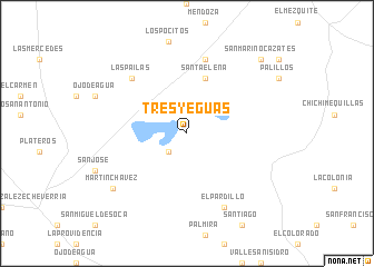
Tres Yeguas (Zacatecas, Mexico)Tres Yeguas is a town in the Zacatecas region of Mexico. An overview map of the region around Tres Yeguas is displayed below.
regional and 3d topo map of Tres Yeguas, Mexico ::
Tres Yeguas airports ::
The nearest airport is ZCL - Zacatecas General Leobardo C Ruiz Intl, located 37.4 km south of Tres Yeguas.
Other airports nearby include AGU - Aguascalientes Jesus Teran Intl (174.1 km south), DGO - Durango Intl (209.5 km north west), SLP - San Luis Potosi Ponciano Arriaga Intl (213.1 km south east), Nearby towns ::
Santa Ana (2.5km south west) //
Santa Ana (2.5km south west) //
Santa Elena (5.8km north) //
El Mogote (7.6km north) //
Las Pailas (7.6km north west) //
El Pardillo (8.2km south east) //
Martín Chávez (8.8km south west) //
San Marino Cázates (10.1km north east) //
[all distances 'as the bird flies' and approximate] 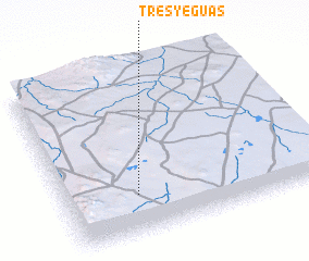 Places with similar names to Tres Yeguas, Mexico :: Disclaimer :: Information on this page comes without warranty of any kind |
||
|
Where is Tres Yeguas? Elevation and coordinates ::
Latitude (lat): 23°14'0"N Longitude (lon): 102°43'0"W
Elevation (approx.): 2054m (map arrows pan, magnifying glasses zoom) |
||
|
Visiting Tres Yeguas? Hotel/Accommodation ::
Book a hotel in Tres Yeguas Travel Guide ::
Buy a travel guide for Mexico rental cars ::
car rental offers GPS waypoint ::
download a GPX waypoint (PoI) of Tres Yeguas for your GPS receiver
|
||