|
search place name
|
||
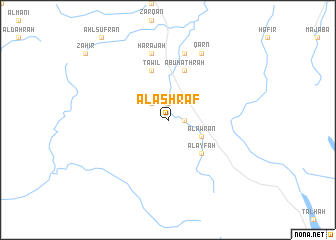
Al Ashrāf (Saudi Arabia)Al Ashrāf is a town in Saudi Arabia. An overview map of the region around Al Ashrāf is displayed below.
regional and 3d topo map of Al Ashrāf, Saudi Arabia ::
Al Ashrāf airports ::
The nearest airport is AHB - Abha, located 85.8 km north west of Al Ashrāf.
Other airports nearby include EAM - Nejran (115.1 km east), GIZ - Gizan King Abdullah Bin Abdulaziz (135.3 km south west), Nearby towns ::
Āl Yūnis (1.8km east) //
Āl Dahrah (1.8km east) //
Āl Ḩawţ (1.9km north) //
Qarwāt (2.6km north west) //
Şum‘ah (2.6km north west) //
Āl ‘Awrān (4.0km south east) //
Āl Jarād (4.0km south east) //
Baq‘āʼ (5.1km south east) //
Al ‘Ayfah (5.1km south east) //
Abū Ḩathrah (5.8km north) //
Ţawīl (5.8km north) //
Başrā (7.6km north) //
Ḩarajah (7.6km north) //
Qarn (8.2km north east) //
[all distances 'as the bird flies' and approximate] 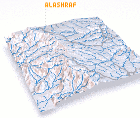 Places with similar names to Al Ashrāf, Saudi Arabia ::
Disclaimer :: Information on this page comes without warranty of any kind |
||
|
Where is Al Ashrāf? Elevation and coordinates ::
Latitude (lat): 17°52'0"N Longitude (lon): 43°22'0"E
Elevation (approx.): 2327m (map arrows pan, magnifying glasses zoom) |
||
|
Visiting Al Ashrāf? Hotel/Accommodation ::
Book a hotel in Al Ashrāf Travel Guide ::
rental cars ::
car rental offers GPS waypoint ::
download a GPX waypoint (PoI) of Al Ashrāf for your GPS receiver
|
||