|
search place name
|
||
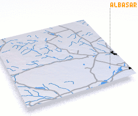
Al Başar (Saudi Arabia)Al Başar is a town in Saudi Arabia. An overview map of the region around Al Başar is displayed below.
regional and 3d topo map of Al Başar, Saudi Arabia ::

Al Başar airports ::
The nearest airport is ELQ - Gassim, located 11.6 km west of Al Başar.
Other airports nearby include HBT - King Khalid Mil.city King Khaled Military City (243.7 km north east), Nearby towns ::
 Places with similar names to Al Başar, Saudi Arabia ::
// Al Başrah (EG)
// Alibei-Ceair (RO)
// Al Buşayrah (SY)
// Al Buşayrī (SY)
// Alboussière (FR)
// ‘Alī Bāzār (IR)
// Al Buşayyir (QA)
// Al Başrah (IQ)
// Al Başīrah (SA)
// Al Başīrī (SA)
Disclaimer :: Information on this page comes without warranty of any kind |
||
|
Where is Al Başar? Elevation and coordinates ::
Latitude (lat): 26°16'0"N Longitude (lon): 43°53'0"E
Elevation (approx.): 679m (map arrows pan, magnifying glasses zoom) |
||
|
Visiting Al Başar? Hotel/Accommodation ::
Book a hotel in Al Başar Travel Guide ::
rental cars ::
car rental offers GPS waypoint ::
download a GPX waypoint (PoI) of Al Başar for your GPS receiver
|
||