|
search place name
|
||
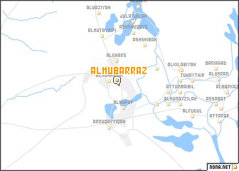
Al Mubarraz (Saudi Arabia)Al Mubarraz is a town in Saudi Arabia. An overview map of the region around Al Mubarraz is displayed below.
regional and 3d topo map of Al Mubarraz, Saudi Arabia ::
Al Mubarraz airports ::
The nearest airport is LEA - Al-ahsa Al Ahsa, located 16.8 km south west of Al Mubarraz.
Other airports nearby include DHA - Dhahran King Abdulaziz Ab (110.7 km north east), DMM - Dammam King Fahd Intl (119.6 km north), BAH - Bahrain Intl (142.2 km north east), DOH - Doha Intl (200.4 km east), Nearby towns ::
Al Muḩassin (1.6km north west) //
Al Hufūf (3.6km south) //
Al Khars (3.9km north) //
Al Baţţālīyah (5.9km north east) //
Banī Ma‘n (6.1km south east) //
Ar Ruqayyiqah (6.8km south) //
Ash Shi‘bah (7.3km north east) //
Al Jubayl (7.0km east) //
Al Muţayrifī (8.1km north) //
Ash Shahārīn (7.6km south east) //
Al Qurayn (8.4km north) //
Ash Shuqayq (8.4km north) //
[all distances 'as the bird flies' and approximate] 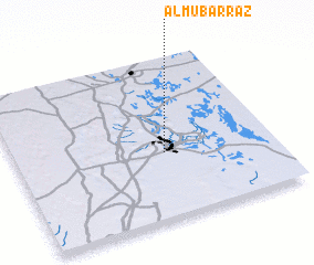 Places with similar names to Al Mubarraz, Saudi Arabia ::
// Al Mubarraz (SA)
// Al Mabraz (YE)
Disclaimer :: Information on this page comes without warranty of any kind |
||
|
Where is Al Mubarraz? Elevation and coordinates ::
Latitude (lat): 25°24'36"N Longitude (lon): 49°34'51"E
Elevation (approx.): 159m (map arrows pan, magnifying glasses zoom) |
||
|
Visiting Al Mubarraz? Hotel/Accommodation ::
Book a hotel in Al Mubarraz Travel Guide ::
rental cars ::
car rental offers GPS waypoint ::
download a GPX waypoint (PoI) of Al Mubarraz for your GPS receiver
|
||