|
search place name
|
||
Aş Şadāwī (Ash Sharqīyah, Saudi Arabia)Aş Şadāwī is a town in the Ash Sharqīyah region of Saudi Arabia. An overview map of the region around Aş Şadāwī is displayed below.
regional and 3d topo map of Aş Şadāwī, Saudi Arabia ::

Aş Şadāwī airports ::
The nearest airport is AQI - Hafr Al-batin Qaisumah, located 62.9 km north west of Aş Şadāwī.
Other airports nearby include HBT - King Khalid Mil.city King Khaled Military City (118.8 km west), KWI - Kuwait Intl (174.4 km north east), Nearby towns ::
[all distances 'as the bird flies' and approximate] 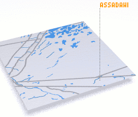
Disclaimer :: Information on this page comes without warranty of any kind |
||
|
Where is Aş Şadāwī? Elevation and coordinates ::
Latitude (lat): 28°6'34"N Longitude (lon): 46°42'47"E
Elevation (approx.): 326m (map arrows pan, magnifying glasses zoom) |
||
|
Visiting Aş Şadāwī? Hotel/Accommodation ::
Book a hotel in Aş Şadāwī Travel Guide ::
rental cars ::
car rental offers GPS waypoint ::
download a GPX waypoint (PoI) of Aş Şadāwī for your GPS receiver
|
||