|
search place name
|
||
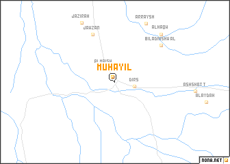
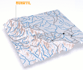
Muḩāyil (Saudi Arabia)Muḩāyil is a town in Saudi Arabia. An overview map of the region around Muḩāyil is displayed below.
regional and 3d topo map of Muḩāyil, Saudi Arabia ::
Muḩāyil airports ::
The nearest airport is AHB - Abha, located 72.6 km south east of Muḩāyil.
Other airports nearby include BHH - Bisha (170.2 km north), GIZ - Gizan King Abdullah Bin Abdulaziz (190.8 km south), ABT - El-baha Al Baha (198.5 km north), Nearby towns ::
 Places with similar names to Muḩāyil, Saudi Arabia ::
// Mahayala (LK)
Disclaimer :: Information on this page comes without warranty of any kind |
||
|
Where is Muḩāyil? Elevation and coordinates ::
Latitude (lat): 18°32'47"N Longitude (lon): 42°2'56"E
Elevation (approx.): 479m (map arrows pan, magnifying glasses zoom) |
||
|
Visiting Muḩāyil? Hotel/Accommodation ::
Book a hotel in Muḩāyil Travel Guide ::
rental cars ::
car rental offers GPS waypoint ::
download a GPX waypoint (PoI) of Muḩāyil for your GPS receiver
|
||