|
search place name
|
||
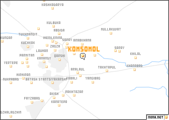
Komsomol (Qashqadaryo, Uzbekistan)Komsomol is a town in the Qashqadaryo region of Uzbekistan. An overview map of the region around Komsomol is displayed below.
regional and 3d topo map of Komsomol, Uzbekistan ::
Komsomol airports ::
The nearest airport is SKD - Samarkand, located 135.1 km north east of Komsomol.
Other airports nearby include BHK - Bukhara (155.1 km north west), Nearby towns ::
Chavkay (2.1km north east) //
Parguza (2.5km north) //
Khudayzad (2.2km north west) //
Aralaul (3.1km south) //
Arabkhana (3.5km north) //
Chargumbaz (3.7km south) //
Aral (4.2km north west) //
Saray (4.7km north west) //
Yangibag (5.2km south) //
Qarshi (4.3km west) //
Takhtapul' (4.6km south east) //
Kabali (5.4km south west) //
Zagza (5.5km north west) //
Kerait (5.8km east) //
Uzunchavo (6.2km north west) //
Abdida (7.2km north west) //
Saray (6.4km east) //
Imeni Lenina (6.9km north west) //
Pakhtazar (8.2km south) //
Mulla-Kuvat (7.5km north east) //
Magzan (6.7km west) //
Stantsiya Karshi (7.6km south west) //
Uzbekpustakent (7.2km north west) //
Shel'vi (8.8km south west) //
Kul'buka (9.1km north west) //
Akish (9.9km south west) //
[all distances 'as the bird flies' and approximate] 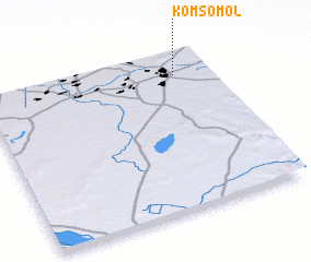 Places with similar names to Komsomol, Uzbekistan ::
Disclaimer :: Information on this page comes without warranty of any kind |
||
|
Where is Komsomol? Elevation and coordinates ::
Latitude (lat): 38°51'48"N Longitude (lon): 65°50'49"E
Elevation (approx.): 386m (map arrows pan, magnifying glasses zoom) |
||
|
Visiting Komsomol? Hotel/Accommodation ::
Book a hotel in Komsomol Travel Guide ::
Buy a travel guide for Uzbekistan rental cars ::
car rental offers GPS waypoint ::
download a GPX waypoint (PoI) of Komsomol for your GPS receiver
|
||