|
search place name
|
||
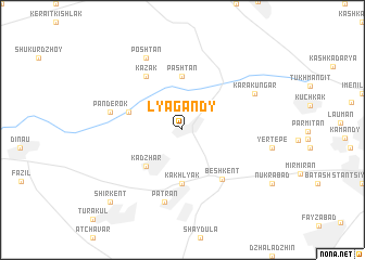
Lyagandy (Uzbekistan)Lyagandy is a town in Uzbekistan. An overview map of the region around Lyagandy is displayed below.
regional and 3d topo map of Lyagandy, Uzbekistan ::
Lyagandy airports ::
The nearest airport is BHK - Bukhara, located 140.4 km north west of Lyagandy.
Other airports nearby include SKD - Samarkand (149.9 km north east), Nearby towns ::
Kadzhar (4.7km south west) //
Pashtan (5.6km north) //
Kakhlyak (5.6km south) //
Naukat (4.7km north west) //
Beshkent (5.9km south east) //
Kazak (6.3km north west) //
Panderok (6.1km west) //
Patran (7.6km south) //
Karakungar (6.9km north east) //
Poshtan (8.0km north) //
Kauchin (9.4km south west) //
Shirkent (9.4km south west) //
[all distances 'as the bird flies' and approximate] 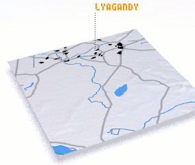 Places with similar names to Lyagandy, Uzbekistan :: Disclaimer :: Information on this page comes without warranty of any kind |
||
|
Where is Lyagandy? Elevation and coordinates ::
Latitude (lat): 38°52'0"N Longitude (lon): 65°37'0"E
Elevation (approx.): 354m (map arrows pan, magnifying glasses zoom) |
||
|
Visiting Lyagandy? Hotel/Accommodation ::
Book a hotel in Lyagandy Travel Guide ::
Buy a travel guide for Uzbekistan rental cars ::
car rental offers GPS waypoint ::
download a GPX waypoint (PoI) of Lyagandy for your GPS receiver
|
||