|
search place name
|
||
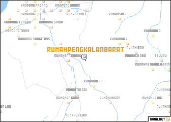
Rumah Peng Kalan Barat (Sarawak, Malaysia)Rumah Peng Kalan Barat is a town in the Sarawak region of Malaysia. An overview map of the region around Rumah Peng Kalan Barat is displayed below.
regional and 3d topo map of Rumah Peng Kalan Barat, Malaysia ::
Rumah Peng Kalan Barat airports ::
The nearest airport is MYY - Miri, located 37.7 km north of Rumah Peng Kalan Barat.
Other airports nearby include MUR - Marudi (46.5 km north east), BTU - Bintulu (140.4 km south west), LMN - Limbang (148.9 km north east), BWN - Brunei Intl (151.9 km north east), Nearby towns ::
Rumah Entebang (3.7km west) //
Rumah Dian (4.1km north west) //
Rumah Umeh (5.9km south) //
Kampong Bulau (6.7km north west) //
Rumah Tinggi (7.6km south) //
Rumah Ikap (8.3km north east) //
Kampong Sinop (10.5km north west) //
Sungai Mutap Kechil (10.5km north west) //
[all distances 'as the bird flies' and approximate] 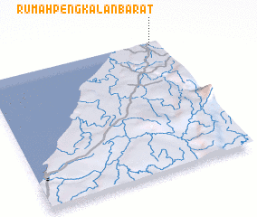 Places with similar names to Rumah Peng Kalan Barat, Malaysia :: Disclaimer :: Information on this page comes without warranty of any kind |
||
|
Where is Rumah Peng Kalan Barat? Elevation and coordinates ::
Latitude (lat): 3°59'0"N Longitude (lon): 113°57'0"E
Elevation (approx.): 14m (map arrows pan, magnifying glasses zoom) |
||
|
Visiting Rumah Peng Kalan Barat? Hotel/Accommodation ::
Book a hotel in Rumah Peng Kalan Barat Travel Guide ::
Buy a travel guide for Malaysia rental cars ::
car rental offers GPS waypoint ::
download a GPX waypoint (PoI) of Rumah Peng Kalan Barat for your GPS receiver
|
||