|
search place name
|
||
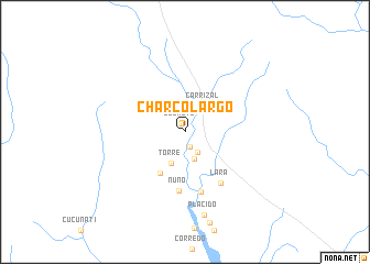
Charcolargo (Darién, Panama)Charcolargo is a town in the Darién region of Panama. An overview map of the region around Charcolargo is displayed below.
regional and 3d topo map of Charcolargo, Panama ::
Charcolargo airports ::
The nearest airport is PTY - Panama City Tocumen Intl, located 141.6 km west of Charcolargo.
Other airports nearby include PAC - Panama Marcos A Gelabert Intl (157.0 km west), HOW - Howard (160.6 km west), Nearby towns ::
El Salto (0.9km north west) //
La Villa (1.6km south) //
Santa Fé (2.4km south east) //
La Isleta (2.9km south) //
Carrizal (3.2km north east) //
Torre (3.4km south west) //
Tumagantí (4.8km south west) //
Nuno (6.0km south) //
Pidiaque (6.3km south) //
Lara (6.3km south east) //
Plácido (8.6km south) //
[all distances 'as the bird flies' and approximate] 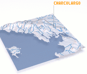 Places with similar names to Charcolargo, Panama ::
// Charco Largo (CO)
// Charco Largo (CO)
// Charcolargo (CO)
// Charco Largo (EC)
// Charco Largo (MX)
// Charco Largo (MX)
// Charco Largo (MX)
// Charco Largo (MX)
// Charco Largo (MX)
// Charco Largo (VE)
Disclaimer :: Information on this page comes without warranty of any kind |
||
|
Where is Charcolargo? Elevation and coordinates ::
Latitude (lat): 8°40'14"N Longitude (lon): 78°9'39"W
Elevation (approx.): 31m (map arrows pan, magnifying glasses zoom) |
||
|
Visiting Charcolargo? Hotel/Accommodation ::
Book a hotel in Charcolargo Travel Guide ::
Buy a travel guide for Panama rental cars ::
car rental offers GPS waypoint ::
download a GPX waypoint (PoI) of Charcolargo for your GPS receiver
|
||