|
search place name
|
||
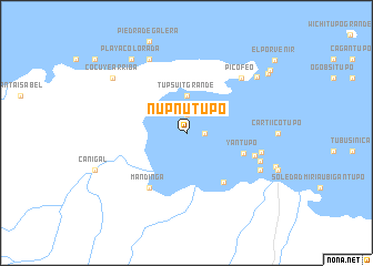
Nupnutupo (San Blas, Panama)Nupnutupo is a town in the San Blas region of Panama. An overview map of the region around Nupnutupo is displayed below.
regional and 3d topo map of Nupnutupo, Panama ::
Nupnutupo airports ::
The nearest airport is PTY - Panama City Tocumen Intl, located 61.1 km south west of Nupnutupo.
Other airports nearby include PAC - Panama Marcos A Gelabert Intl (81.8 km south west), HOW - Howard (89.8 km south west), Nearby towns ::
Arritupo (1.8km east) //
Tubualá (1.9km north) //
Ubigantupo Mandinga (1.9km north) //
Tupsuit Grande (3.7km north) //
Orostupo (3.7km north) //
Tupsuit Chico (3.7km north) //
Tupsuit Chiquito (3.7km north) //
Yantupo (6.0km east) //
Acuatupo Número Uno (6.2km south east) //
Mandinga (6.7km south west) //
Cartí Yantupo (7.2km east) //
Cartí Tupile (7.7km east) //
Pico Feo (7.8km north east) //
Corbisquí (7.8km north east) //
Cartí Suitupo (7.9km east) //
Cartí Satubgua (8.2km south east) //
Galera (8.3km north west) //
La Concepción (8.3km north west) //
Mamitupo (8.9km north east) //
Cocuyé Arriba (9.2km north west) //
Playa Colorada (9.2km north west) //
Nalunega (10.0km north east) //
Wichubualá (10.4km north east) //
El Porvenir (11.4km north east) //
[all distances 'as the bird flies' and approximate] 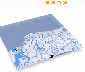 Places with similar names to Nupnutupo, Panama :: Disclaimer :: Information on this page comes without warranty of any kind |
||
|
Where is Nupnutupo? Elevation and coordinates ::
Latitude (lat): 9°30'0"N Longitude (lon): 79°2'0"W
Elevation (approx.): -32768m (map arrows pan, magnifying glasses zoom) |
||
|
Visiting Nupnutupo? Hotel/Accommodation ::
Book a hotel in Nupnutupo Travel Guide ::
Buy a travel guide for Panama rental cars ::
car rental offers GPS waypoint ::
download a GPX waypoint (PoI) of Nupnutupo for your GPS receiver
|
||