|
search place name
|
||
‘Alī Āghā Bin Nāmiq Āghā (Şalāḩ ad Dīn, Iraq)‘Alī Āghā Bin Nāmiq Āghā is a town in the Şalāḩ ad Dīn region of Iraq. An overview map of the region around ‘Alī Āghā Bin Nāmiq Āghā is displayed below.
regional and 3d topo map of ‘Alī Āghā Bin Nāmiq Āghā, Iraq ::

Nearby towns ::
Manşūr Āghā (2.3km west) //
Haft Nafār (3.1km north west) //
Shenad (5.5km north east) //
Shūr Awah (6.1km north east) //
Bārah Bārah (6.8km south) //
Qaryat al Būnajm (6.8km south west) //
Tall Ḩamāh (6.3km west) //
Qaryat Tall al Buşl (8.2km south west) //
Ālbū Sirāj (8.2km south west) //
‘Arab Kūy (7.9km north west) //
[all distances 'as the bird flies' and approximate] 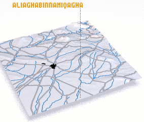 Places with similar names to ‘Alī Āghā Bin Nāmiq Āghā, Iraq :: Disclaimer :: Information on this page comes without warranty of any kind |
||
|
Where is ‘Alī Āghā Bin Nāmiq Āghā? Elevation and coordinates ::
Latitude (lat): 35°2'0"N Longitude (lon): 44°28'0"E
Elevation (approx.): 196m (map arrows pan, magnifying glasses zoom) |
||
|
Visiting ‘Alī Āghā Bin Nāmiq Āghā? Hotel/Accommodation ::
Book a hotel in ‘Alī Āghā Bin Nāmiq Āghā Travel Guide ::
Buy a travel guide for Iraq rental cars ::
car rental offers GPS waypoint ::
download a GPX waypoint (PoI) of ‘Alī Āghā Bin Nāmiq Āghā for your GPS receiver
|
||