|
search place name
|
||
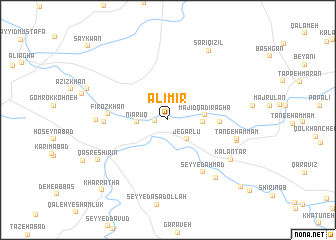
‘Alī Mīr (Diyālá, Iraq)‘Alī Mīr is a town in the Diyālá region of Iraq. An overview map of the region around ‘Alī Mīr is displayed below.
regional and 3d topo map of ‘Alī Mīr, Iraq ::
‘Alī Mīr airports ::
The nearest airport is KSH - Bakhtaran Shahid Ashrafi Esfahani, located 140.7 km east of ‘Alī Mīr.
Other airports nearby include SDG - Sanandaj (146.3 km north east), Nearby towns ::
Qal‘eh-ye Sefīd (1.2km west) //
Jegarlū (2.7km south east) //
Nīārūq (2.9km west) //
Qal‘at Chārnī (3.3km east) //
Majīd Qādir Āghā (3.5km east) //
Barār ‘Azīz (4.8km east) //
Fīrōz Khān (5.5km west) //
Seyyed Aḩmad (6.7km south east) //
Aḩmadābād (5.9km west) //
Dār Khvor (6.7km east) //
Tang-e Ḩammām (6.7km east) //
Bābā Hādī (6.8km east) //
Ţayrūq (6.7km west) //
Kalāntar (7.3km south east) //
Jegarlū Āqā Barār (7.9km south east) //
Sar-ī Qizil (8.6km north east) //
Qaşr-e Shīrīn (7.9km south west) //
Kharrāţhā (9.9km south west) //
Jegarlū Gūsh Kanīsh (10.1km south east) //
[all distances 'as the bird flies' and approximate] 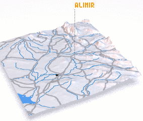 Places with similar names to ‘Alī Mīr, Iraq ::
Disclaimer :: Information on this page comes without warranty of any kind |
||
|
Where is ‘Alī Mīr? Elevation and coordinates ::
Latitude (lat): 34°33'9"N Longitude (lon): 45°38'52"E
Elevation (approx.): 365m (map arrows pan, magnifying glasses zoom) |
||
|
Visiting ‘Alī Mīr? Hotel/Accommodation ::
Book a hotel in ‘Alī Mīr Travel Guide ::
Buy a travel guide for Iraq rental cars ::
car rental offers GPS waypoint ::
download a GPX waypoint (PoI) of ‘Alī Mīr for your GPS receiver
|
||