|
search place name
|
||
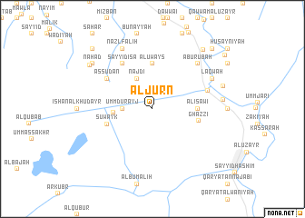
Al Jurn (Maysān, Iraq)Al Jurn is a town in the Maysān region of Iraq. An overview map of the region around Al Jurn is displayed below.
regional and 3d topo map of Al Jurn, Iraq ::
Al Jurn airports ::
The nearest airport is BSR - Basrah Intl, located 98.2 km south of Al Jurn.
Other airports nearby include AWZ - Ahwaz (137.6 km east), ABD - Abadan (142.1 km south east), QMJ - Masjed Soleiman Shahid Asyaee (197.5 km east), MRX - Bandar Mahshahr Mahshahr (197.9 km south east), Nearby towns ::
Umm Durayj (3.2km west) //
Najdī (4.0km north west) //
Suwayj ad Dawb (4.2km west) //
Al ‘Uways (5.6km north) //
Al ‘Īsāwī (4.7km east) //
Suwayk (5.1km west) //
Ghazzī (5.1km east) //
As Sūdān (6.0km north west) //
Sayyid ‘Īsá (6.4km north west) //
Banī Ghāzī (6.2km east) //
Abū Rūbah (7.3km north east) //
Laqwah (7.3km north east) //
Nazl Fāliḩ (8.1km north west) //
Al Wasīţah (7.5km east) //
Mantarīs (7.9km east) //
Nahāḑ (8.4km north west) //
Al ‘Aylah (8.5km north west) //
AbūZawbah (9.0km north east) //
Bismār (9.7km north east) //
Ālbū Sulaymah (9.7km north west) //
[all distances 'as the bird flies' and approximate] 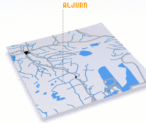 Places with similar names to Al Jurn, Iraq ::
Disclaimer :: Information on this page comes without warranty of any kind |
||
|
Where is Al Jurn? Elevation and coordinates ::
Latitude (lat): 31°23'0"N Longitude (lon): 47°19'0"E
Elevation (approx.): 2m (map arrows pan, magnifying glasses zoom) |
||
|
Visiting Al Jurn? Hotel/Accommodation ::
Book a hotel in Al Jurn Travel Guide ::
Buy a travel guide for Iraq rental cars ::
car rental offers GPS waypoint ::
download a GPX waypoint (PoI) of Al Jurn for your GPS receiver
|
||