|
search place name
|
||
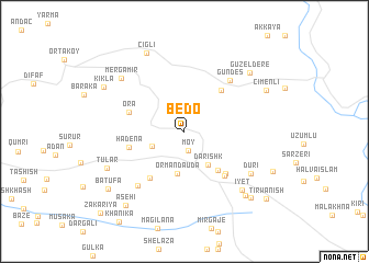
Bedo (Dahūk, Iraq)Bedo is a town in the Dahūk region of Iraq. An overview map of the region around Bedo is displayed below.
regional and 3d topo map of Bedo, Iraq ::
Bedo airports ::
The nearest airport is VAN - Van, located 134.1 km north of Bedo.
Nearby towns ::
Mōy (2.0km south) //
Bināvī (3.0km south west) //
Darishk (3.9km south east) //
Ōrmān Dāūda (4.3km south) //
Kānī Māsī (4.8km south east) //
Ormanlı (5.2km north east) //
Ōrmān (5.5km south west) //
Hadēna (4.8km west) //
Ōra (4.9km north west) //
Qaşr-e Bilbilō (5.5km south east) //
Qaşr-e Yōkhanna (5.6km south east) //
Gündeş (6.4km north east) //
Ravīna (6.7km south west) //
Dūrī (6.9km south east) //
Iyēt (7.6km south east) //
Mērgamīr (7.4km north west) //
Tūlar (7.3km south west) //
Çığlı (8.6km north) //
Güzeldere (8.0km north east) //
Bishm-ē Yē (8.2km south east) //
Kīklā (7.9km north west) //
Çimenli (7.9km north east) //
Bētānūr (8.6km south east) //
Asēhī (8.9km south west) //
Batūfa (8.5km south west) //
Tirwanish (9.6km south east) //
Zakariya (10.7km south west) //
[all distances 'as the bird flies' and approximate] 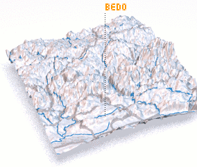 Places with similar names to Bedo, Iraq ::
Disclaimer :: Information on this page comes without warranty of any kind |
||
|
Where is Bedo? Elevation and coordinates ::
Latitude (lat): 37°15'43"N Longitude (lon): 43°24'29"E
Elevation (approx.): 1377m (map arrows pan, magnifying glasses zoom) |
||
|
Visiting Bedo? Hotel/Accommodation ::
Book a hotel in Bedo Travel Guide ::
Buy a travel guide for Iraq rental cars ::
car rental offers GPS waypoint ::
download a GPX waypoint (PoI) of Bedo for your GPS receiver
|
||