|
search place name
|
||
Kanhash (Nīnawá, Iraq)Kanhash is a town in the Nīnawá region of Iraq. An overview map of the region around Kanhash is displayed below.
regional and 3d topo map of Kanhash, Iraq ::
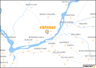
Nearby towns ::
‘Umar Mindān (1.4km north east) //
Al Kuwayr (2.1km south east) //
Ibrāhīm al Khalīl (4.2km south west) //
Zimārah (5.0km south) //
Şābir (6.5km south) //
Baisatli Sughair (6.6km north) //
Qūsh Tapah (6.7km south) //
Zimārat Şābir (7.2km south) //
Dermānao (6.9km south east) //
Gamish Tappah (6.9km north east) //
Al ‘Adlah (6.9km south west) //
Tall al Gūrah (9.0km south east) //
Sāqiyah (8.8km south west) //
Kashf al Fawqānī (9.1km south west) //
Huwayrah (9.5km north east) //
[all distances 'as the bird flies' and approximate] 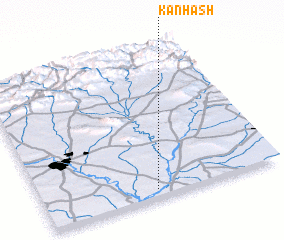 Places with similar names to Kanhash, Iraq ::
// Quan Hoạch (VN)
Disclaimer :: Information on this page comes without warranty of any kind |
||
|
Where is Kanhash? Elevation and coordinates ::
Latitude (lat): 36°3'23"N Longitude (lon): 43°28'27"E
Elevation (approx.): 208m (map arrows pan, magnifying glasses zoom) |
||
|
Visiting Kanhash? Hotel/Accommodation ::
Book a hotel in Kanhash Travel Guide ::
Buy a travel guide for Iraq rental cars ::
car rental offers GPS waypoint ::
download a GPX waypoint (PoI) of Kanhash for your GPS receiver
|
||