|
search place name
|
||
Khalubig (As Sulaymānīyah, Iraq)Khalubig is a town in the As Sulaymānīyah region of Iraq. An overview map of the region around Khalubig is displayed below.
regional and 3d topo map of Khalubig, Iraq ::

Khalubig airports ::
The nearest airport is SDG - Sanandaj, located 157.9 km east of Khalubig.
Other airports nearby include KSH - Bakhtaran Shahid Ashrafi Esfahani (171.9 km east), Nearby towns ::
Āwāy ‘Azīz ‘Alī (3.0km north west) //
Zānşiqa-i Hājjī Qādir (3.6km north east) //
Turka (4.6km south west) //
Qādir Pīr Ways (5.9km south east) //
Zālah Safar (6.8km south) //
Garmik (6.8km north) //
Gōmahzard (5.7km west) //
Şōfī Raḩīm (6.5km north east) //
Zamāniyah (6.2km south east) //
Āwāy Sayyid Raḩīm (7.2km north east) //
Dōmilān (6.7km west) //
Hamah Qādir (8.5km north) //
Michah Shal (8.8km south) //
Gōbān (8.5km south west) //
Gūbān (8.6km south west) //
[all distances 'as the bird flies' and approximate] 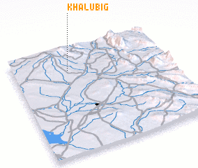 Places with similar names to Khalubig, Iraq :: Disclaimer :: Information on this page comes without warranty of any kind |
||
|
Where is Khalubig? Elevation and coordinates ::
Latitude (lat): 34°48'0"N Longitude (lon): 45°22'0"E
Elevation (approx.): 442m (map arrows pan, magnifying glasses zoom) |
||
|
Visiting Khalubig? Hotel/Accommodation ::
Book a hotel in Khalubig Travel Guide ::
Buy a travel guide for Iraq rental cars ::
car rental offers GPS waypoint ::
download a GPX waypoint (PoI) of Khalubig for your GPS receiver
|
||