|
search place name
|
||
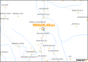
Mahdī al Ḩajj (Diyālá, Iraq)Mahdī al Ḩajj is a town in the Diyālá region of Iraq. An overview map of the region around Mahdī al Ḩajj is displayed below.
regional and 3d topo map of Mahdī al Ḩajj, Iraq ::
Mahdī al Ḩajj airports ::
The nearest airport is SDG - Sanandaj, located 238.1 km north east of Mahdī al Ḩajj.
Nearby towns ::
Al Ḩusayn (1.8km north west) //
Yaḩyá al Ḩasan (2.2km south) //
Imām ‘Askar (3.2km south) //
‘Abd Allāh al Ḩasan (3.5km north west) //
Ḩusayn al ‘Alī (5.4km south) //
‘Arab Duwayj (5.6km north) //
Bustān Salūjī (6.1km north) //
Kāz̧im al ‘Alī (6.3km south) //
Ḩusayn ash Sharrād (7.3km south) //
Ibrāhīm Jawād (7.6km south) //
Majīd Ḩamīd (8.6km north) //
Khamis al ‘Alī (8.5km south) //
‘Abbās ar Rājib (8.6km south west) //
Maḩmūd al Ḩasan (9.1km south west) //
[all distances 'as the bird flies' and approximate] 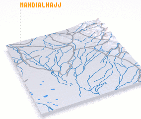 Places with similar names to Mahdī al Ḩajj, Iraq :: Disclaimer :: Information on this page comes without warranty of any kind |
||
|
Where is Mahdī al Ḩajj? Elevation and coordinates ::
Latitude (lat): 33°48'32"N Longitude (lon): 45°4'56"E
Elevation (approx.): 45m (map arrows pan, magnifying glasses zoom) |
||
|
Visiting Mahdī al Ḩajj? Hotel/Accommodation ::
Book a hotel in Mahdī al Ḩajj Travel Guide ::
Buy a travel guide for Iraq rental cars ::
car rental offers GPS waypoint ::
download a GPX waypoint (PoI) of Mahdī al Ḩajj for your GPS receiver
|
||