|
search place name
|
||
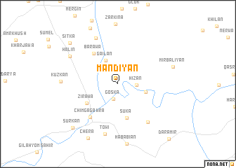
Mandiyān (Nīnawá, Iraq)Mandiyān is a town in the Nīnawá region of Iraq. An overview map of the region around Mandiyān is displayed below.
regional and 3d topo map of Mandiyān, Iraq ::
Mandiyān airports ::
The nearest airport is VAN - Van, located 213.7 km north of Mandiyān.
Nearby towns ::
Gōska (2.4km south) //
Garmik (2.7km north east) //
Hīzān (2.4km east) //
Gailan (4.1km north west) //
Yakdār (3.8km east) //
Suka (5.5km south) //
Zīrāwa (5.0km south west) //
Barawa (5.7km north west) //
Chimga Gawra (6.3km south west) //
Sarkandkilo (7.2km south east) //
Shāwish (7.8km north) //
Towi (8.2km south) //
Halin (7.5km north west) //
Mīr Bāliyān (7.5km east) //
Chera (9.5km south west) //
Nahāwa (9.5km north) //
Sūrkān (9.0km south west) //
Sitka (9.0km north west) //
Daramīr (10.9km south east) //
[all distances 'as the bird flies' and approximate] 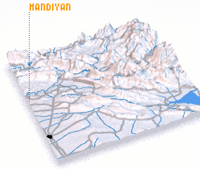 Places with similar names to Mandiyān, Iraq ::
Disclaimer :: Information on this page comes without warranty of any kind |
||
|
Where is Mandiyān? Elevation and coordinates ::
Latitude (lat): 36°37'15"N Longitude (lon): 44°0'47"E
Elevation (approx.): 367m (map arrows pan, magnifying glasses zoom) |
||
|
Visiting Mandiyān? Hotel/Accommodation ::
Book a hotel in Mandiyān Travel Guide ::
Buy a travel guide for Iraq rental cars ::
car rental offers GPS waypoint ::
download a GPX waypoint (PoI) of Mandiyān for your GPS receiver
|
||