|
search place name
|
||
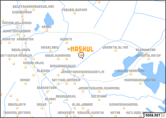
Māshūl (Dhī Qār, Iraq)Māshūl is a town in the Dhī Qār region of Iraq. An overview map of the region around Māshūl is displayed below.
regional and 3d topo map of Māshūl, Iraq ::
Māshūl airports ::
The nearest airport is BSR - Basrah Intl, located 170.0 km south east of Māshūl.
Other airports nearby include ABD - Abadan (225.7 km south east), Nearby towns ::
Khaʼūn al ‘Abīd (1.7km north west) //
Ḩusayn al Khiḑr (3.2km west) //
Jamā‘at Hashīsh as Suwaylim (3.7km south) //
Sayyid Shanāwah (4.0km south west) //
Bandar as Sa‘dūn (4.5km south west) //
Ḩusayn (4.9km north west) //
‘Abd al Muḩammad (4.7km west) //
Muhai al Khāfūr (5.8km south) //
Sayyid al Jalīl (6.0km south west) //
Sayyid ‘Alī an Nāşir (6.4km south west) //
Jamā‘at Hilāl (7.4km south) //
Jamā‘at al ‘Alyān (6.6km east) //
Sa‘īd al ‘Abīd (6.6km west) //
Farḩān ar Rodham (7.3km south west) //
‘Aday (8.1km south east) //
Jamā‘at Sa‘dūn al Muḩammad (8.1km south east) //
Al Bid‘ah (8.3km south west) //
Ḩasan (9.5km north west) //
Ash Shaţrah (10.1km south west) //
[all distances 'as the bird flies' and approximate] 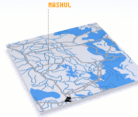 Places with similar names to Māshūl, Iraq ::
Disclaimer :: Information on this page comes without warranty of any kind |
||
|
Where is Māshūl? Elevation and coordinates ::
Latitude (lat): 31°29'0"N Longitude (lon): 46°15'0"E
Elevation (approx.): 7m (map arrows pan, magnifying glasses zoom) |
||
|
Visiting Māshūl? Hotel/Accommodation ::
Book a hotel in Māshūl Travel Guide ::
Buy a travel guide for Iraq rental cars ::
car rental offers GPS waypoint ::
download a GPX waypoint (PoI) of Māshūl for your GPS receiver
|
||