|
search place name
|
||
Muḩaybis (Bābil, Iraq)Muḩaybis is a town in the Bābil region of Iraq. An overview map of the region around Muḩaybis is displayed below.
regional and 3d topo map of Muḩaybis, Iraq ::
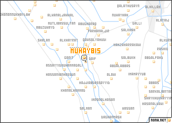
Nearby towns ::
Jāsim (0.0km north) //
Ḑāʼif (1.2km east) //
Sajlān (1.9km south) //
Muţlaq as Salmān (1.9km north) //
‘Abbās (2.4km south west) //
Ţaqţaqah (2.4km north west) //
Nāʼif al Ghaydān (3.2km north) //
Garīţ (3.1km west) //
Khiyārah (3.1km west) //
Ālbū Muḩaysin (3.7km north) //
Abū Tufayjah (4.0km south west) //
Qaws al Yahūdī (4.0km north east) //
Karīm al Mashkūr (4.5km north west) //
As Sayyid Muḩammad ‘Alī (4.4km south west) //
Al Khayrāt (4.9km north west) //
Khuḑayr (5.6km south) //
Maḩmūd as Sayyid (5.8km south) //
Ḩājjī ‘Abd as Sayyid (5.8km south) //
Farḩān al Jīr (6.2km north) //
‘Abd al Ḩusayn (6.4km south west) //
Ḩassān Ibn Ḩassūn (6.0km south west) //
‘Alāwī (6.0km south east) //
Al Kawām (5.6km east) //
Dhiyāb al Jābir (6.0km north west) //
Abū Gharaq (7.2km north) //
‘Abd al ‘Abbās (6.5km east) //
Banī Şāliḩ (7.6km north) //
Khān al Ḩammād (7.6km south) //
Ḩājjī Ḩasan (8.0km north east) //
[all distances 'as the bird flies' and approximate] 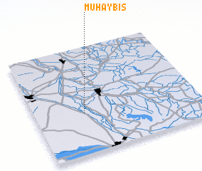 Places with similar names to Muḩaybis, Iraq ::
// Māhī Bas (IR)
Disclaimer :: Information on this page comes without warranty of any kind |
||
|
Where is Muḩaybis? Elevation and coordinates ::
Latitude (lat): 32°23'0"N Longitude (lon): 44°18'0"E
Elevation (approx.): 33m (map arrows pan, magnifying glasses zoom) |
||
|
Visiting Muḩaybis? Hotel/Accommodation ::
Book a hotel in Muḩaybis Travel Guide ::
Buy a travel guide for Iraq rental cars ::
car rental offers GPS waypoint ::
download a GPX waypoint (PoI) of Muḩaybis for your GPS receiver
|
||