|
search place name
|
||
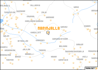
Narin Jalla (As Sulaymānīyah, Iraq)Narin Jalla is a town in the As Sulaymānīyah region of Iraq. An overview map of the region around Narin Jalla is displayed below.
regional and 3d topo map of Narin Jalla, Iraq ::
Narin Jalla airports ::
The nearest airport is SDG - Sanandaj, located 82.8 km east of Narin Jalla.
Other airports nearby include KSH - Bakhtaran Shahid Ashrafi Esfahani (139.1 km south east), Nearby towns ::
Gilip (2.2km north west) //
Khulami (2.8km north east) //
Hānah Nawtī (3.1km south) //
Kānī Garmaleh (3.6km east) //
Khar Pānī (4.1km south west) //
Khagillan (4.0km west) //
Dargā Shaykhān (4.5km south east) //
Dārāmār (5.7km north) //
Bīdarvāz (5.0km north east) //
Kīmāneh (5.3km east) //
Āwāy Rustum Bayk (6.1km north west) //
Khail-ī Hama Shawish (6.1km north west) //
Aḩmad Āwah (6.7km north west) //
Tāoera (7.3km south) //
Z̧ālim (7.6km north) //
Balkhah (7.1km south east) //
Darashish (6.9km south west) //
Khūrmāl (8.1km north west) //
Hana-ī Qull (9.5km north) //
Pālāniyah (9.9km south east) //
Sūskān (9.6km south east) //
Jalīlah (9.5km south west) //
Ābābellī (10.3km south west) //
[all distances 'as the bird flies' and approximate] 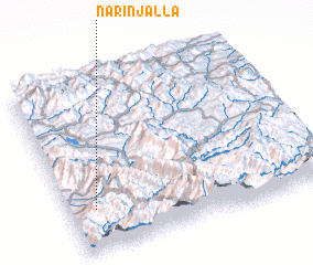 Places with similar names to Narin Jalla, Iraq ::
Disclaimer :: Information on this page comes without warranty of any kind |
||
|
Where is Narin Jalla? Elevation and coordinates ::
Latitude (lat): 35°14'45"N Longitude (lon): 46°5'59"E
Elevation (approx.): 1069m (map arrows pan, magnifying glasses zoom) |
||
|
Visiting Narin Jalla? Hotel/Accommodation ::
Book a hotel in Narin Jalla Travel Guide ::
Buy a travel guide for Iraq rental cars ::
car rental offers GPS waypoint ::
download a GPX waypoint (PoI) of Narin Jalla for your GPS receiver
|
||