|
search place name
|
||
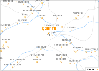
Qora To (Diyālá, Iraq)Qora To is a town in the Diyālá region of Iraq. An overview map of the region around Qora To is displayed below.
regional and 3d topo map of Qora To, Iraq ::
Qora To airports ::
The nearest airport is SDG - Sanandaj, located 155.7 km north east of Qora To.
Other airports nearby include KSH - Bakhtaran Shahid Ashrafi Esfahani (155.7 km east), Nearby towns ::
‘Alī Āghā (0.9km east) //
Sayyid Muşţafá (3.0km north) //
Kānī Shīrīn (5.1km north east) //
Ḩawsh Kurá (5.8km south west) //
Gomrok Kohneh (5.8km south east) //
‘Azīz Khān (5.9km south east) //
Sangar (7.1km north) //
Tannūrah (7.1km north) //
Hedāyat (7.1km south east) //
Saykwan (7.2km east) //
Majīd Sālār (7.3km east) //
Mūlā Sulaymān (7.8km north west) //
Ḩoseynābād (9.0km south east) //
Āltinjī Iḩtiyāt (9.0km south west) //
Khānī Maḩmūd Bāshā (10.1km north west) //
[all distances 'as the bird flies' and approximate] 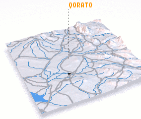 Places with similar names to Qora To, Iraq ::
Disclaimer :: Information on this page comes without warranty of any kind |
||
|
Where is Qora To? Elevation and coordinates ::
Latitude (lat): 34°36'24"N Longitude (lon): 45°29'32"E
Elevation (approx.): 281m (map arrows pan, magnifying glasses zoom) |
||
|
Visiting Qora To? Hotel/Accommodation ::
Book a hotel in Qora To Travel Guide ::
Buy a travel guide for Iraq rental cars ::
car rental offers GPS waypoint ::
download a GPX waypoint (PoI) of Qora To for your GPS receiver
|
||