|
search place name
|
||
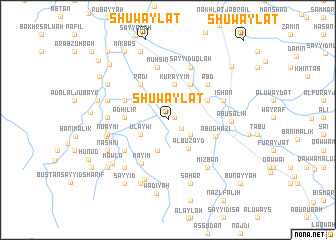
Shuwaylāt (Maysān, Iraq)Shuwaylāt is a town in the Maysān region of Iraq. An overview map of the region around Shuwaylāt is displayed below.
regional and 3d topo map of Shuwaylāt, Iraq ::
Shuwaylāt airports ::
The nearest airport is BSR - Basrah Intl, located 116.5 km south of Shuwaylāt.
Other airports nearby include AWZ - Ahwaz (147.5 km east), ABD - Abadan (160.3 km south east), MRX - Bandar Mahshahr Mahshahr (213.1 km south east), Nearby towns ::
Baidhan (0.6km north east) //
Şāfī al Amīn (1.5km south east) //
Muḩawdil (2.7km south east) //
‘Ulaywī (3.0km south west) //
Al Khisaf (3.6km south) //
Albū Zayd (3.7km south east) //
Kurayyim (4.0km north) //
Mūzānīyah (4.5km north east) //
Aqi (4.3km north east) //
Rāḑīyah (4.2km west) //
Adhīlīr (4.2km west) //
Rāḑī (4.7km north west) //
Budayyir (4.7km north west) //
Abū Ghāzī (4.9km south east) //
Nāyim (5.5km south west) //
‘Abd (5.5km north east) //
Muḩsin (5.9km north) //
Dīwān (5.4km south west) //
Sayyid ‘Uqlah (6.2km north) //
Īshān (5.7km east) //
Sājil (5.7km west) //
Mizbān (6.5km south east) //
Nu‘aymī (6.0km west) //
Abū Şāliḩ (6.0km east) //
Qāsim (6.1km west) //
Ḑaygham (6.1km west) //
Shaykh Ḩamūd (6.1km west) //
Mālik (7.0km south) //
Bustān Salmān (6.7km south west) //
[all distances 'as the bird flies' and approximate] 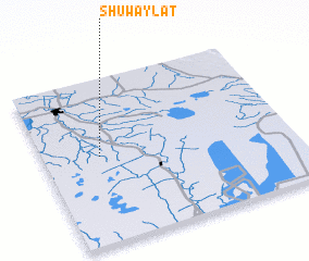 Places with similar names to Shuwaylāt, Iraq ::
Disclaimer :: Information on this page comes without warranty of any kind |
||
|
Where is Shuwaylāt? Elevation and coordinates ::
Latitude (lat): 31°31'51"N Longitude (lon): 47°13'38"E
Elevation (approx.): 8m (map arrows pan, magnifying glasses zoom) |
||
|
Visiting Shuwaylāt? Hotel/Accommodation ::
Book a hotel in Shuwaylāt Travel Guide ::
Buy a travel guide for Iraq rental cars ::
car rental offers GPS waypoint ::
download a GPX waypoint (PoI) of Shuwaylāt for your GPS receiver
|
||