|
search place name
|
||
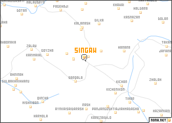
Singaw (As Sulaymānīyah, Iraq)Singaw is a town in the As Sulaymānīyah region of Iraq. An overview map of the region around Singaw is displayed below.
regional and 3d topo map of Singaw, Iraq ::
Singaw airports ::
The nearest airport is SDG - Sanandaj, located 166.9 km east of Singaw.
Other airports nearby include KSH - Bakhtaran Shahid Ashrafi Esfahani (209.3 km south east), Nearby towns ::
Khiḑrī (1.1km north) //
Mīraī-iKhwārū (2.2km west) //
Mīraī-i Khwārū (2.2km west) //
Hamza Rūhi (3.6km north east) //
Jinōka-i 'ājī Shal (3.8km north west) //
Sarqalā (4.7km south west) //
Kalla Kazhi (7.0km north) //
Kalarash (7.4km north) //
Gōyzha (7.0km west) //
Dilka (8.5km north) //
Hanāra (7.2km east) //
Kichān (8.3km south east) //
Kichēn-i Kōn (8.8km south east) //
[all distances 'as the bird flies' and approximate] 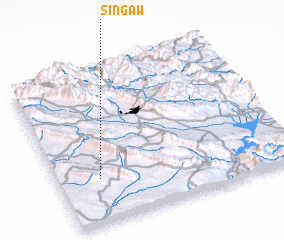 Places with similar names to Singaw, Iraq ::
Disclaimer :: Information on this page comes without warranty of any kind |
||
|
Where is Singaw? Elevation and coordinates ::
Latitude (lat): 35°17'15"N Longitude (lon): 45°10'33"E
Elevation (approx.): 833m (map arrows pan, magnifying glasses zoom) |
||
|
Visiting Singaw? Hotel/Accommodation ::
Book a hotel in Singaw Travel Guide ::
Buy a travel guide for Iraq rental cars ::
car rental offers GPS waypoint ::
download a GPX waypoint (PoI) of Singaw for your GPS receiver
|
||