|
search place name
|
||
Surīja (Arbīl, Iraq)Surīja is a town in the Arbīl region of Iraq. An overview map of the region around Surīja is displayed below.
regional and 3d topo map of Surīja, Iraq ::
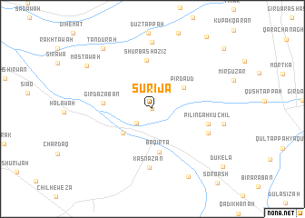
Nearby towns ::
Shwarza (0.1km north) //
Sūrbāsh (2.3km north) //
Yadī Qizlar (2.3km south west) //
Judaydah (4.2km south west) //
Pīr Dāʼūd (4.1km north east) //
Baqirta (5.4km south) //
Shūrbāsh ‘Azīz (6.0km north) //
Gird ‘Azabān (4.9km west) //
Pilingah Kuchil (5.8km east) //
Kasnāzan (7.2km south) //
Dugird Khān (6.3km south east) //
Qoritan Mullā Maḩmūd (8.2km north) //
Pilingah Gawrah (7.3km east) //
Qurshāqlū (9.1km south east) //
Mastāwah (8.4km north west) //
Tandurah (9.0km north west) //
Jokul (10.4km north east) //
Dūkela (10.0km south east) //
Shīrāwah (10.2km north east) //
[all distances 'as the bird flies' and approximate] 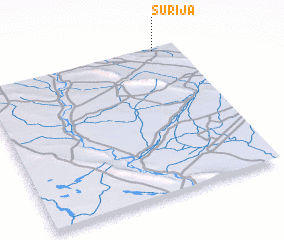 Places with similar names to Surīja, Iraq ::
Disclaimer :: Information on this page comes without warranty of any kind |
||
|
Where is Surīja? Elevation and coordinates ::
Latitude (lat): 35°59'58"N Longitude (lon): 43°53'18"E
Elevation (approx.): 324m (map arrows pan, magnifying glasses zoom) |
||
|
Visiting Surīja? Hotel/Accommodation ::
Book a hotel in Surīja Travel Guide ::
Buy a travel guide for Iraq rental cars ::
car rental offers GPS waypoint ::
download a GPX waypoint (PoI) of Surīja for your GPS receiver
|
||