|
search place name
|
||
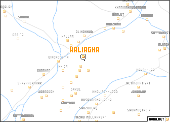
Wālī Āghā (Diyālá, Iraq)Wālī Āghā is a town in the Diyālá region of Iraq. An overview map of the region around Wālī Āghā is displayed below.
regional and 3d topo map of Wālī Āghā, Iraq ::
Wālī Āghā airports ::
The nearest airport is KSH - Bakhtaran Shahid Ashrafi Esfahani, located 168.8 km east of Wālī Āghā.
Other airports nearby include SDG - Sanandaj (168.9 km north east), Nearby towns ::
Khiyāl (1.4km south west) //
Bārikah (2.2km south) //
Khiḑr Badr (2.3km south west) //
Şāliḩān (2.3km south west) //
Ţūb ‘Askar (3.7km south west) //
Ḩama Karim (4.3km north) //
Bingird (4.2km north west) //
Khiḑr (4.5km south west) //
‘Alī Mahmūd (5.5km north) //
Sharawand ‘Abd Allāh Āghā (5.3km south west) //
Girdagozina (4.8km west) //
Kallār (5.5km north west) //
Gākūl (7.2km south) //
‘Abd Allāh (7.0km south west) //
‘Alī Shāfī (8.0km south) //
Qal‘at Birinjī (8.0km north east) //
Khalīfah Murād (8.5km south east) //
Bānzamīn (8.9km north east) //
Ţāzah Shahr (9.5km south west) //
Mūlā Sulaymān (9.5km north east) //
Jabrādah (10.4km south west) //
[all distances 'as the bird flies' and approximate] 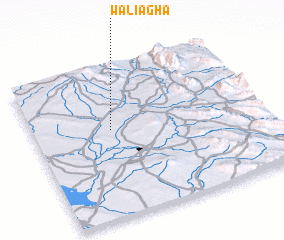 Places with similar names to Wālī Āghā, Iraq ::
Disclaimer :: Information on this page comes without warranty of any kind |
||
|
Where is Wālī Āghā? Elevation and coordinates ::
Latitude (lat): 34°35'7"N Longitude (lon): 45°20'37"E
Elevation (approx.): 213m (map arrows pan, magnifying glasses zoom) |
||
|
Visiting Wālī Āghā? Hotel/Accommodation ::
Book a hotel in Wālī Āghā Travel Guide ::
Buy a travel guide for Iraq rental cars ::
car rental offers GPS waypoint ::
download a GPX waypoint (PoI) of Wālī Āghā for your GPS receiver
|
||