|
search place name
|
||
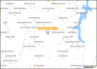
Ampangabe (Antananarivo, Madagascar)Ampangabe is a town in the Antananarivo region of Madagascar. An overview map of the region around Ampangabe is displayed below.
regional and 3d topo map of Ampangabe, Madagascar ::
Ampangabe airports ::
The nearest airport is TNR - Antananarivo Ivato, located 65.1 km north west of Ampangabe.
Other airports nearby include MNJ - Mananjary (216.9 km south), TMM - Toamasina (221.3 km north east), Nearby towns ::
Bemasoandro (3.5km east) //
Andramadinika (4.0km north west) //
Ambatolampikely (4.1km north west) //
Morarano (5.1km south west) //
Ambohijanaka (5.1km south east) //
Andranomifankatia (5.6km east) //
Antevana (5.6km west) //
Ambondrona (5.6km east) //
Bakaro Fitsinjorana (6.4km south west) //
Alatsinainy-Bakaro (7.2km west) //
Anketrina (7.2km east) //
Antanambao (7.6km north west) //
Amberobe (7.6km north east) //
Antanivany (7.9km south west) //
Andafiatsimo (8.9km south west) //
Ambatoharanana (8.9km north east) //
Ambatoafo (8.9km south east) //
Kelimafana (9.1km south east) //
[all distances 'as the bird flies' and approximate] 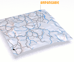 Places with similar names to Ampangabe, Madagascar ::
Disclaimer :: Information on this page comes without warranty of any kind |
||
|
Where is Ampangabe? Elevation and coordinates ::
Latitude (lat): 19°20'0"S Longitude (lon): 47°44'0"E
Elevation (approx.): 1509m (map arrows pan, magnifying glasses zoom) |
||
|
Visiting Ampangabe? Hotel/Accommodation ::
Book a hotel in Ampangabe Travel Guide ::
Buy a travel guide for Madagascar rental cars ::
car rental offers GPS waypoint ::
download a GPX waypoint (PoI) of Ampangabe for your GPS receiver
|
||