|
search place name
|
||
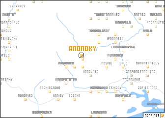
Anonoky (Toliara, Madagascar)Anonoky is a town in the Toliara region of Madagascar. An overview map of the region around Anonoky is displayed below.
regional and 3d topo map of Anonoky, Madagascar ::
Anonoky airports ::
The nearest airport is FTU - Tolagnaro, located 19.2 km south east of Anonoky.
Nearby towns ::
Malio (0.0km north) //
Amberio (1.9km south) //
Taviala (2.5km south west) //
Manolo (2.5km north east) //
Mahanoro (3.8km south west) //
Marovato (4.1km south east) //
Ampatrambe (5.0km north east) //
Nosibe (5.4km east) //
Marofototra (6.5km south west) //
Ankaramena (6.5km south west) //
Tananolosay (6.5km north east) //
Menaraka (6.7km east) //
Befeno (7.6km south) //
Manambaro (8.1km south east) //
Ifarantsa (7.7km north east) //
Tanamasy (9.0km south east) //
Fenoarivo (8.7km north east) //
Beahibazaha (10.0km south west) //
Antanamasy (10.0km south east) //
Tsihary (10.0km south east) //
[all distances 'as the bird flies' and approximate] 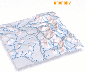 Places with similar names to Anonoky, Madagascar ::
Disclaimer :: Information on this page comes without warranty of any kind |
||
|
Where is Anonoky? Elevation and coordinates ::
Latitude (lat): 24°58'0"S Longitude (lon): 46°47'0"E
Elevation (approx.): 67m (map arrows pan, magnifying glasses zoom) |
||
|
Visiting Anonoky? Hotel/Accommodation ::
Book a hotel in Anonoky Travel Guide ::
Buy a travel guide for Madagascar rental cars ::
car rental offers GPS waypoint ::
download a GPX waypoint (PoI) of Anonoky for your GPS receiver
|
||