|
search place name
|
||
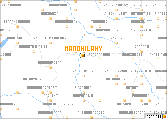
Manohilahy (Antananarivo, Madagascar)Manohilahy is a town in the Antananarivo region of Madagascar. An overview map of the region around Manohilahy is displayed below.
regional and 3d topo map of Manohilahy, Madagascar ::
Manohilahy airports ::
The nearest airport is TNR - Antananarivo Ivato, located 53.4 km south west of Manohilahy.
Other airports nearby include TMM - Toamasina (174.9 km east), Nearby towns ::
Antsahabe (1.9km north) //
Ambohitrony (2.6km north west) //
Foroanarina (3.5km east) //
Ambohimamory (3.5km east) //
Ambohidreny (3.7km south) //
Ambodifahitra (5.6km north) //
Ambohinierenana (6.4km north east) //
Fiadanana (7.4km south) //
Amparihy (7.6km north) //
Ambohibao (7.6km north) //
Analaroa (7.3km west) //
Mangarivotra (7.3km west) //
Androvakely (7.7km north east) //
Kamanja (8.0km north east) //
Ambohibazina (8.0km south east) //
Tanambao (8.2km north east) //
Ambohitsimenaloha (8.0km north west) //
Ambohimirary (8.2km north west) //
Antanimena (9.0km south east) //
Ambohibary (10.2km south west) //
[all distances 'as the bird flies' and approximate] 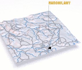 Places with similar names to Manohilahy, Madagascar ::
// Mān Hō-la (MM)
// Mān Ho-loi (MM)
// Manhilo (PH)
// Moinhola (PT)
// Moinhola (PT)
// Mine Hill (US)
// Munhall (US)
// Mīān Hāleh (IR)
// Manhiāla (PK)
// Manihal (PK)
Disclaimer :: Information on this page comes without warranty of any kind |
||
|
Where is Manohilahy? Elevation and coordinates ::
Latitude (lat): 18°24'0"S Longitude (lon): 47°46'0"E
Elevation (approx.): 1266m (map arrows pan, magnifying glasses zoom) |
||
|
Visiting Manohilahy? Hotel/Accommodation ::
Book a hotel in Manohilahy Travel Guide ::
Buy a travel guide for Madagascar rental cars ::
car rental offers GPS waypoint ::
download a GPX waypoint (PoI) of Manohilahy for your GPS receiver
|
||