|
search place name
|
||
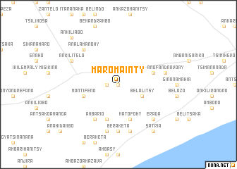
Maromainty (Toliara, Madagascar)Maromainty is a town in the Toliara region of Madagascar. An overview map of the region around Maromainty is displayed below.
regional and 3d topo map of Maromainty, Madagascar ::
Maromainty airports ::
The nearest airport is FTU - Tolagnaro, located 110.3 km east of Maromainty.
Nearby towns ::
Mongy (0.0km north) //
Terakabo (1.7km west) //
Analamamy (3.8km south east) //
Belalitsy (3.8km south east) //
Ankazoabo (5.8km south) //
Ambonaivo (5.4km east) //
Montifeno (5.4km west) //
Ambondro (5.4km west) //
Matofohy (5.8km south) //
Ambario (6.5km south west) //
Beraketa (7.4km south) //
Ambinda (7.6km south) //
Anofandravoay (7.0km east) //
Ambazoa (7.6km south) //
Analamanohy (7.5km north west) //
Erada (7.5km south east) //
Ankilitelo (7.7km north west) //
Ambanikily (9.0km south east) //
Satria (9.0km south east) //
Ankiliabo (10.0km north west) //
[all distances 'as the bird flies' and approximate] 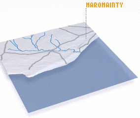 Places with similar names to Maromainty, Madagascar ::
// Mariemont (US)
// Mira Monte (US)
// Miramonte (US)
// Miramonte (US)
// Marymont (PL)
// Miramont (ES)
// Maromandia (MG)
// Maromandia (MG)
// Maromandia (MG)
// Maromandia (MG)
Disclaimer :: Information on this page comes without warranty of any kind |
||
|
Where is Maromainty? Elevation and coordinates ::
Latitude (lat): 25°14'0"S Longitude (lon): 45°53'0"E
Elevation (approx.): 176m (map arrows pan, magnifying glasses zoom) |
||
|
Visiting Maromainty? Hotel/Accommodation ::
Book a hotel in Maromainty Travel Guide ::
Buy a travel guide for Madagascar rental cars ::
car rental offers GPS waypoint ::
download a GPX waypoint (PoI) of Maromainty for your GPS receiver
|
||